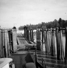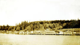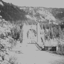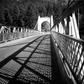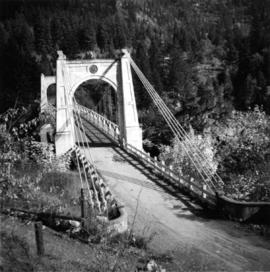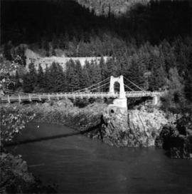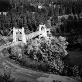
2013.6.36.1.088.19
·
Item
·
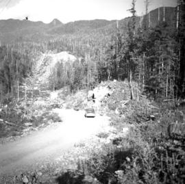
Sept. 1964
Part of David Davies Railway Collection
Photograph taken on the Alberni-Tofino/Ucluelet logging public road on Vancouver Island. This stretches view was aimed towards the east and Kennedy Lake.