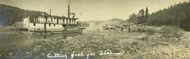
2014.10.1.300
·
Item
·
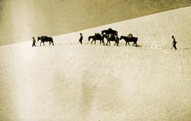
1913
Part of Arthur Holland Land Surveying Collection
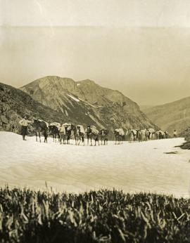
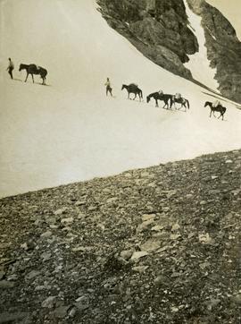
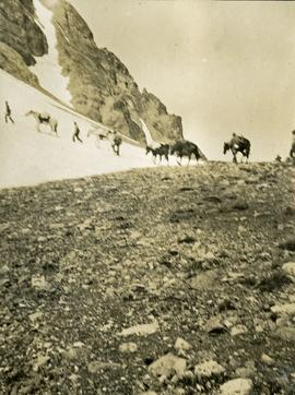
Photograph depicts three men and five horses traversing through the snow. The men are on foot leading the horses.