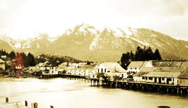
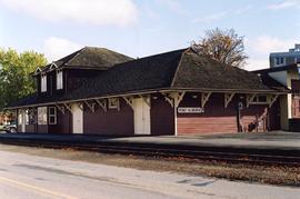
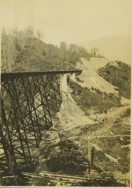
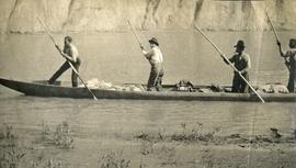
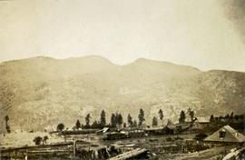
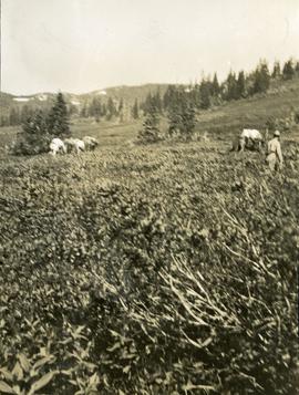
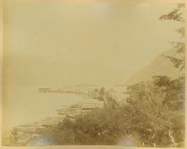
Photograph depicts several homes and building constructed on and near the water, treed hills and snowy mountains in the background. Handwritten annotation below photograph reads, "Part of the bergh of Port Essington".
Image depicts a pulp mill in Port Edward, B.C.
Photograph depicts a renovated Esquimalt & Nanaimo Railway station in Port Alberni. It was now used by Alberni Pacific tourist railway.
GTP stands from Grand Trunk Pacific Railway.
Caption: Our small friends: Porkie (porcupine) above timber-line.
Annotation on recto: "Porcupine".
No caption provided with photograph negative. Appears similar to 2007.1.30.2.011, which has the following caption: "Poor quality Spruce left after diameter cutting. Note insect killed trees and leaning tree. Sparse stocking. Very poor increment. Devils Club site. Silty clay. No post logging regeneration. Continous understory of alder and willow. West Branch, F.E.S. Aleza Lake."
Caption describing photograph: "Poor quality Spruce left after diameter cutting. Note insect killed trees and leaning tree. Sparse stocking. Very poor increment. Devils Club site. Silty clay. No post logging regeneration. Continous understory of alder and willow. West Branch, F.E.S. Aleza Lake."
Image depicts an old pool hall somewhere in Wells, B.C.
Image depicts an old pool hall, crowded with unknown individuals, somewhere in Wells, B.C.
Photograph depicts a pond with pink flamingos and a model boat that is located in Driftwood Canyon near Smithers.
Photograph depicts four men standing on a canoe, loaded with supplies. Calm river water in the background, bluffs in the background.
Photograph depicts two persons holding long poles, standing on a canoe on the Nechako river. The water vessel appears to be very near a falls. Image is out of focus.
Cartoon by Roy Peterson, printed above image: "THE PETERSON PORTFOLIO".
HGT Perry standing on a campaign platform speaking into a microphone.
HGT Perry standing up at a campaign dinner event, speaking into a microphone.
HGT Perry standing with other party members (including WAC Bennet)on a campaign platform.
HGT Perry standing at a microphone with other party members (including WAC Bennet)on a campaign platform.
Annotation on recto: "Finlay River". Photo depicts two men poling a cargo laden boat away from shore while another man sits in the boat and a dog is stands on the rocky shoreline.
Three Indigenous men stand in a canoe poling their craft along a shoreline while one man sits and steers. An unidentified village is visible along the opposite shore.
Photograph depicts three men wearing semi-formal attire at doorway to log building, miscellaneous supplies leaning against base of building. Dirt road in foreground, forest trees on hillside in background. Handwritten annotation on verso of photograph reads: "Mile 47 B.C. Police Barracks.", on recto of photograph: "Summit of Yellowhead pass and east boundary of British Columbia Mile 0. 699 miles to Prince Rupert. Tete Jaune Mile 52. Mile 47 east of Tete Jaune in the Park.", "1911".
Photograph depicts three men in semi-formal attire standing on front steps of log building with tin roof. Shovels, saw, ladder, buckets, boxes and logs lean against building. Forest trees, buildings, and hillside can be seen in background. Handwritten annotation on verso of photograph reads: "Police Barracks. Mile 29 B.C.", on recto of photograph: "Mile 29 East of Tete Jaune Mile 52."
Photograph depicts a pole yard of Gorman Bros Ltd. Loading methods and quality were checked by CN inspectors in Kamloops, then on the main trans-continental line. These particular lines were destined for Ontario.
Photograph depicts a few scattered buildings and railway siding in the foreground, sparsely forested mountain in the background.
Photograph depicts a long wood frame building with a very tall totem pole in front. Handwritten annotation below photograph reads, "Hankedah, Nass River May 1927".
Photograph depicts where the Coquihalla Highway crossed over Coldwater River, 3 miles northwest of Brookmere. Trackage in the foreground was constructed in 1984/85 as its original routing interfered with the construction of the new highway built in 1985/86. This rebuilt rail bed had only been in use from 184/5 to May 1989.
Front view of tractor plow clearing snow-covered road site, trees on either side. Operator of plow is visible, but not identifiable.
Photograph depicts a plough found near Clulculz Lake, 45 miles west of Prince George. Its metal parts were made in the USA.
Annotation on slide: "Plot 3, Summit".
Annotation on slide: "Plot 3 uncut control plot, Summit Lake".
Photograph depicts a plateau leading into forested foothills and a snow-covered mountain range.
Image depicts an aerial view of a plateau near the Fraser River.
Photograph depicts plateau below summit between John Brown and Kitseucla creeks. Survey of 55th parallel.
Plaque reads: “1607, At Jamestown began: The expansion overseas of the English speaking peoples; The Commonwealth of Virginia; The United States of America; The British Commonwealth of Nations, 1957.”
Photograph depicts a plaque attached to the east side girder of bascule section of the Second Narrows railway bridge in Vancouver, BC