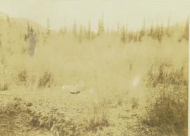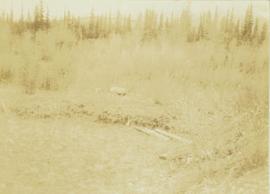
2009.6.13.49.1201
·
Item
·
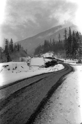
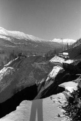
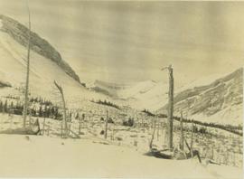
Nov. 1978
Part of The Honourable Iona Campagnolo fonds
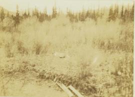
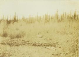
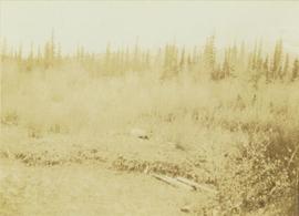
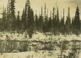
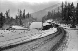
Photograph depicts a damaged road and bridge from a washout on Highway 16 between Hazelton and Terrace.