2023.2.2.1.3.7
·
Item
·
[2010?]
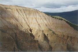
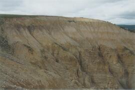
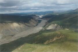
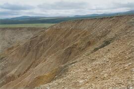
Part of Dr. Paul Sanborn fonds
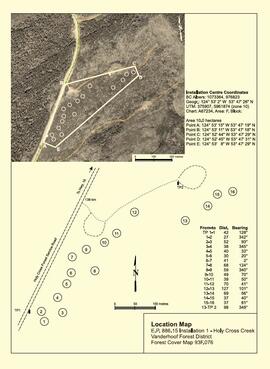
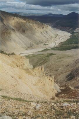
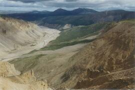
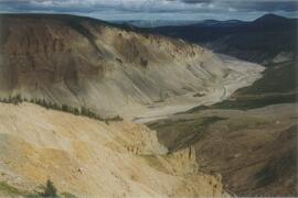
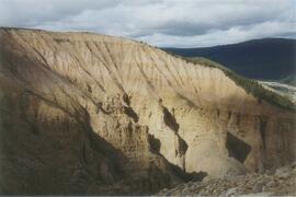
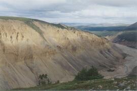
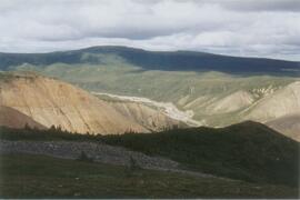
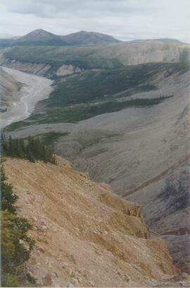
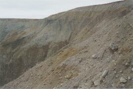
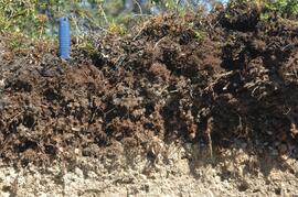
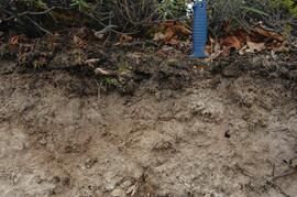
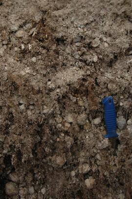
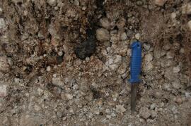
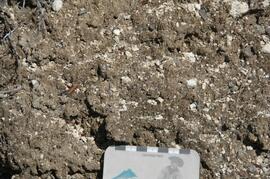
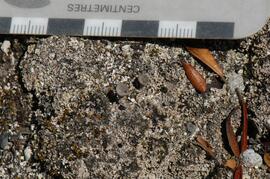
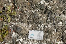
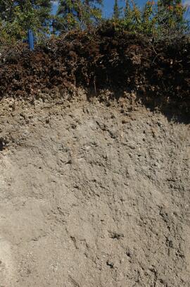
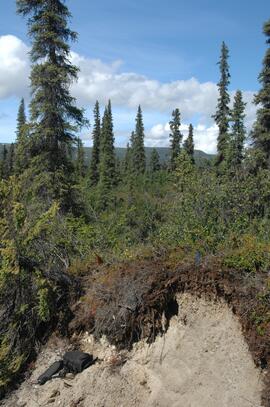
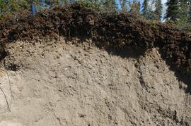
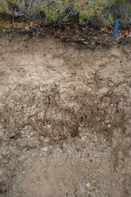
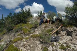
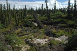
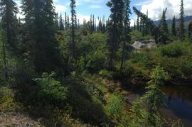
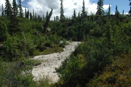
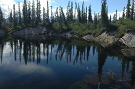
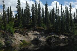
Document is a research installation layout map for the Kenneth Creek site of the Sulphur stable isotope tracer study (E.P. 886.15).