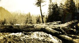
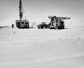
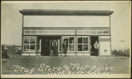
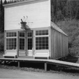
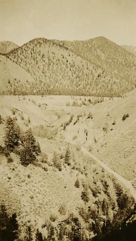
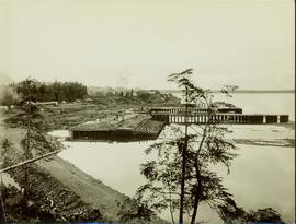
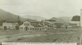
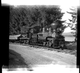
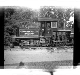
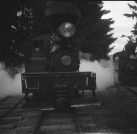
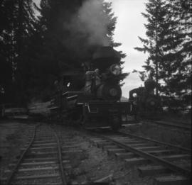
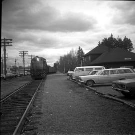
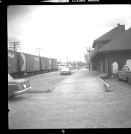
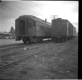
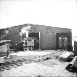
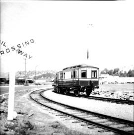
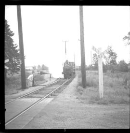
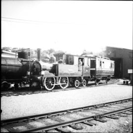
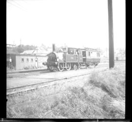
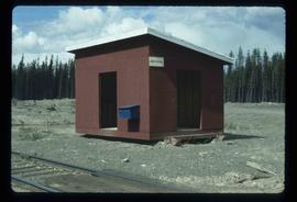
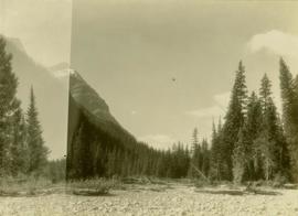
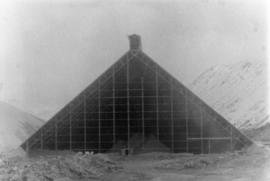
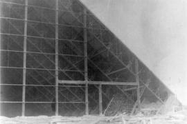
Image depicts a number of identical buildings and vehicles at "Driftwood Creek" in the Driftwood Canyon Provincial Park.
Photograph depicts a large log laying on the beach, standing trees in the background.
Photograph depicts driftwood on a beach at Skidegate, Queen Charlotte Islands.
Photograph depicts the existing outlet at the proposed site for a hydro power project on Klemtu Lake.
Image depicts the Driftwood BCR station, possibly located near Driftwood Creek in the Driftwood Canyon Provincial Park east of Smithers, B.C.
Photograph of Ingersoll-Rand machinery drilling in the early days of the Cassiar Pit.
Image depicts a driveway cordoned off by a red mesh material in Newlands, B.C. The address of the house is labelled 31951, and the name listed is "Fauchers." Map coordinates 54°06'47.8"N 122°08'22.4"W
Road and lampstands in foreground, Government House in background.
Slides depict the puck being dropped at a hockey game in what is believed to be the Cassiar Arena.
Photograph depicts three men standing in front of drugstore, and a woman in doorway of attached post office. Cleared area in foreground, bushes and trees in background. Handwritten annotation on verso of photograph: "Drug Store & Post Office South Fort George."
Photograph depicts the completely rebuilt drug store in Barkerville based on historical sketches and photos.
Photograph depicts the Ponderosa Pine and bunch grass dry biogeoclimatic zone near Lytton in October 1936.
Part of a set of 41 original black & white photographs [1908-1933-?]) of the Grand Trunk Pacific Railway line in BC depicting surveying crews, town sites (Prince Rupert and its port, Hazelton and Fort George), and First Nations Peoples.
Ground level view of the dry dock in Prince Rupert, BC. Printed annotation on recto reads: "$3,000,000 Dry Dock and Shipbuilding Plant, Prince Rupert B.C." Handwritten annotation on verso reads: "With much love. To Many from Raha[??]."
Photograph depicts buildings visible through clearing in trees. Water crosses foreground, hills visible in background.
Handwritten annotation on verso reads: "Dry dock / Prince Rupert B.C."
Photograph depicts large dry rock storage building on left, mill in background, dryer building on far right. Road and power poles cross foreground, mountains stand in background. Photo caption next to printed copy of image in 1953 Annual Report: "Completed dry rock storage and dryer buildings."
Photograph depicts large dry rock storage building in foreground on left, mill in background, dryer building in right midground. Miscellaneous supplies in far right foreground, mountains visible in background. Handwritten annotation on verso of photograph: "Sept 1954". This photograph was originally stored inside duotang labeled "CASSIAR ASBESTOS CORPORATION LIMITED PHOTOGRAPHS 1954"; photo caption beneath this image: "40,000 Ton Dry Storage Building / Mill / Dryer Building".
Photograph depicts large dry rock storage building in foreground on right, mill on left behind tailings pile, and dryer building in centre behind conveyor belt connecting mill to dry rock storage. A cloud can be seen rising from plantsite. Trees and Troutline Creek cross foreground, mine valley and mountains visible in background. Stamped annotation on recto of photograph: "ANSCO PRINTON Munshaw Colour Service Ltd. MAR 10 1955".
Photograph depicts several nets spread out on racks in the foreground, cannery and building in the midground, treed hillsides in the background. Handwritten annotation below photograph reads, "Drying net - on the racks".
Photograph depicts two men standing beside very tall fish drying racks. Handwritten annotation below photograph reads, "Drying oolichans Fishery Bay, BC".
Photograph depicts a tarp spread out on the grass, two men sit nearby the tarp. There is a canvas tent in the background with a man standing beside it. Behind the tent is a low hill with a fence bordering the top of the hill. There are blankets drying on the fence.
Image depicts a large flock of ducks in a field full of water at an unknown location.
Image depicts a view of Duffey Lake Provincial Park, looking east over Duffey Lake.
Image depicts a view of Duffey Lake Provincial Park, looking west over Duffey Lake.
Photograph depicts red truck dumping waste at what is believed to be the tailings pile at the Cassiar plant. Small building and unidentified individual in bottom left foreground, valley and mountains in background. Photo caption next to printed copy of image in 1953 Annual Report: "Stockpile of 80,000 tons of Ore at Mill."
Photograph depicts dump truck under power lines and tramlines on gravel road. Buckets hang on line, mountains in background.
Large logs rolling off a logging truck parked on a bridge and into Halfway River. Handwritten annotation on bottom recto of photograph: "Dumping logs - Halfway River, B.C. 1936".
Photograph depicts the Hillcrest Lumber Company shay found at the Duncan Forestry Museum on Vancouver Island. The locomotive was in steam when the photograph was taken.
Photograph taken at the Duncan Forestry Museum.
Photograph depicts a north bound freight passing the Duncan station on Vancouver Island.
Photograph depicts northbound freight passing the Duncan station on Vancoouver Island without stopping.
Photograph depicts the north end of the CPR yard in Duncan, Vancouver Island. CPR car #411264, formerly called the "North Portal" and an old box car #404061 are visible.
Image depicts an old barn located somewhere near Dunlevy Creek in the Dawson Creek area.
Image depicts the Dunlevy Creek area somewhere near Dawson Creek, B.C. The slide is simply labelled "Dunlevy irrigation" for uncertain reasons.
Image depicts an old barn located at a dairy farm somewhere near Dunlevy Creek in the Dawson Creek area.
Photograph depicts a British locomotive, the "Dunrobin," as well as a saloon coach found at a BCER locomotive shed. It was emerging for a second trial run to Steveston. It just underwent a complete overhaul in 1966 after being being purchased by the provincial government of British Columbia.
Photograph depicts a British locomitive, the "Dunrobin," and saloon coach having just emerged from a BCER locomotive shed in New Westminster. Mr. Swanson, a B.C. chief mechanical engineer, is visibled leaning out of the coach's window.
Photograph depicts a British locomotive, the "Dunrobin, " and a saloon coach on BCER track in New West Minster, facing Marpole. The locomotive had stopped and was waiting for the loop switch to be turned.
Photograph depicts a British locomotive, the "Dunrobin," as well as a saloon coach found at a BCER locomotive shed. It was emerging for a second trial run to Steveston. It just underwent a complete overhaul in 1966 after being being purchased by the provincial government of British Columbia.
Photograph depicts a British locomotive, the "Dunrobin" and saloon coach that had just been given the clearance for the run to Marpole and then to Steveston. Visible is BCER track in New Westminster beside the Rayonier lumber mill that was since destroyed by fire in 1966.