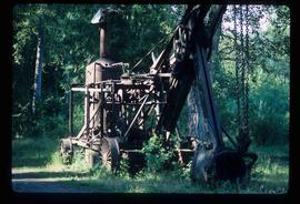
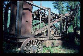
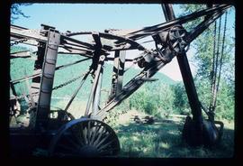
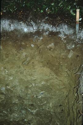
2006.18.6.06.46
·
Item
·
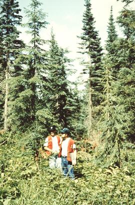
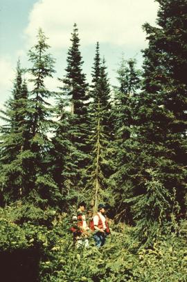
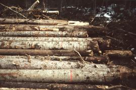
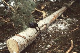
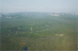
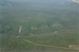
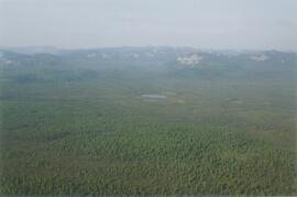
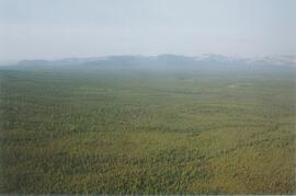
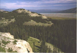
[between June and Oct.1992]
Part of Aleza Lake Research Forest Society fonds
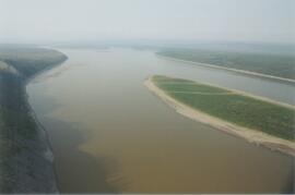
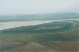
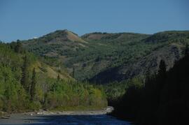
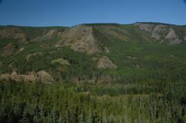
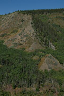
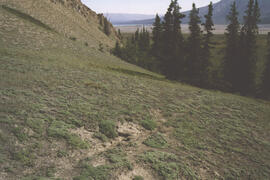
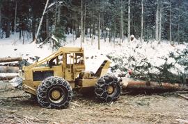
Annotation on slide: "Summit Lk., Mod. vol. removal".