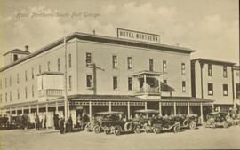
Street view of many vehicles parked in front of the Hotel Northern. Printed annotation on recto reads: "Hotel Northern, South Fort George."
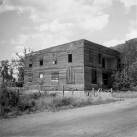
Photograph depicts an old hotel in the center of Keremeos. It once had been a thriving staging post. The village now only contained 2 building which included this hotel and a dance hall that had been converted to a barn.
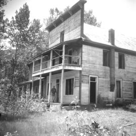
Photograph taken at Carmi, an old village between Rock Creek and Kelowna. Visible is an old hotel that was up for sale.
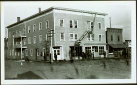
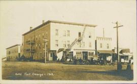
Photograph depicts street corner view of Hotel Fort George with people and utility pole in foreground.
Handwritten annotation on verso “Hotel Fort George Central Fort George 1913".
Photograph depicts Hotel Fort George with people, cars and power pole in foreground. Handwritten annotation on verso reads: “Hotel Fort George - 1913”.
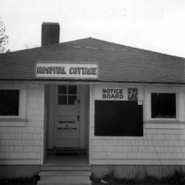
Photograph depicts the Hospital Cottage on Main St. in Sechelt, B.C. which also appears to have been home to the Magistrates and Small Debts Court at one point. A large central hospital for the whole of the Sechelt Peninsula was opened in 1965 at Sechelt.
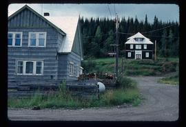
Image depicts the hospital building and another building in Wells, B.C.
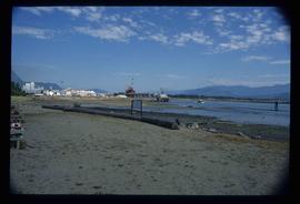
Image depicts what is possibly Hospital Beach in Kitimat, B.C. The facility in the background is possibly the Alcan smelter.
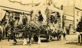
Photograph depicts a team of Clydesdale horses pulling a decorated wagon. Printed annotation on recto reads: “Dominion Day Prince Rupert BC 1914” Handwritten annotation in pencil on verso reads: “1914 Dominion Day Prince Rupert.” Handwritten annotation in ink on verso is addressed to “Mrs. Herbert Hampton New Harvey House Niagara Falls New York” Cancelation mark on Canadian 1 cent stamp is dated: July 22, 14
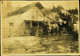
Photograph depicts two men seated in horse-drawn sled. Horses stand in front of short picket fence in foreground, large log building and shed in midground. Trees on hill visible in background. It is speculated that the man seated behind the white horse may be Mr. A. K. Bourchier. Handwritten annotation on recto of photograph: "Alexandria road house".
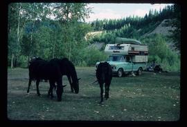
Image depicts several horses near a camper somewhere in Quesnelle Forks, B.C.
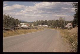
Image depicts the town of Horsefly, B.C.
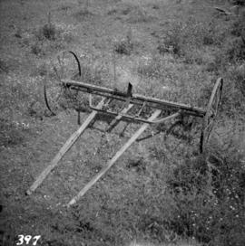
Photograph depicts a horse drawn hay rack in a field on the north slopes of Vedder Mountain, near Yarrow.
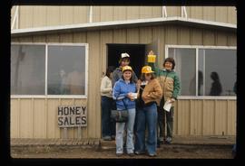
Image depicts several unidentified individuals standing in front of a store selling honey.
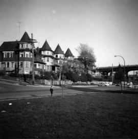
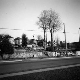
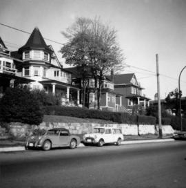
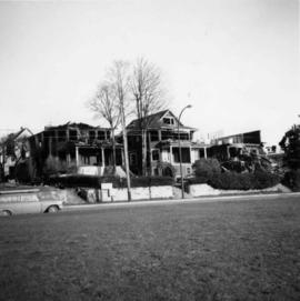
Photograph depicts the 1000 Beach Ave. block with dogwood rose tree in bloom at the left of the photo.
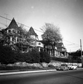
Photograph depicts homes on 1000 Beach Ave., looking northeast.
Photograph depicts the homes on 1000 Beach Ave. in Vancouver, B.C.
Photograph depicts homes on 1000 Beach Ave., looking northeast.
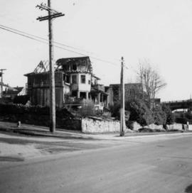
Photograph depicts homes on 1000 Beach Ave., looking northeast. House #1053 on the left has been demolished at this point and then set on fire one night by kids.
Photograph depicts homes on 1000 Beach Ave. in Vancouver, B.C.
Photograph depicts home at #1053 Beach Ave., which is now fully demolished.
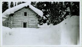
Winter landscape scene featuring a small log home covered in snow with trees in background. Handwritten caption beside this photo reads: "Home of [Laral Peonen?] John Adams".
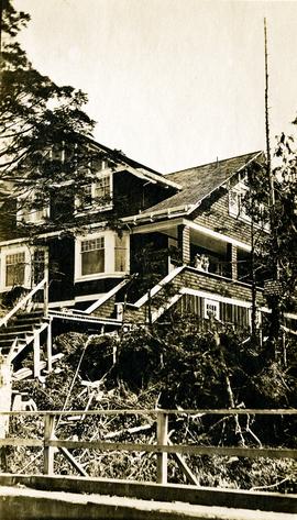
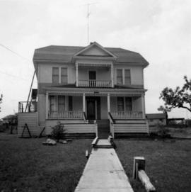
Photograph depicts Bertha Collison standing with daughters Katherine and Muriel on front steps of large house. Boardwalk in foreground.
Handwritten annotation on verso reads: "Our house at Prince Rupert 1912 (Just completed).
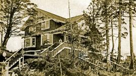
Photograph depicts Bertha Collison standing with daughter on front steps of large house.
Handwritten annotation on verso reads: "Our house at Prince Rupert (Just completed) 1912".
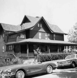
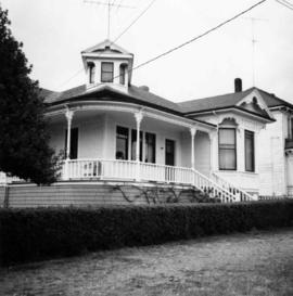
Photograph depicts a home at 1310 Comox St. in Vancouver, B.C. View is of the east side of the house, facing Jervis St.
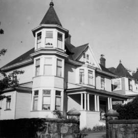
Photograph depicts a home located at 1459 Robson St., at the northeastern intersection of Robson and Nicola, in Vancouver B.C.
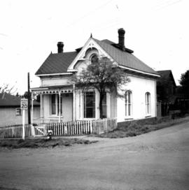
Photograph depicts an old house on 148th St. in north Surrey, about half a mile southwest of the south end of the Port Mann Bridge.
Photograph depicts a home on 390 Franklin St., Nanaimo, B.C. on Vancouver Island.
Photograph depicts a home at 673 Selby St. in Nanaimo, B.C. on Vancouver, Island.
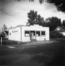
Photograph depicts Golly's Grocery that was closed and slightly vandalised.
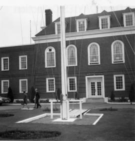
Photograph depicts HMCS Discovery Naval Reserve headquarters in located on Deadman's Island, Vancouver.
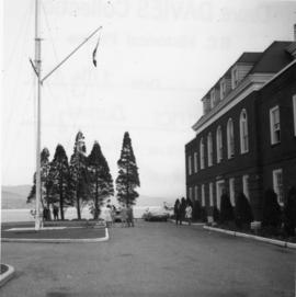
Photograph depicts HMCS Discovery Naval Reserve headquarters in located on Deadman's Island, Vancouver.
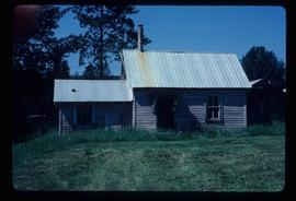
Image depicts the Hixon School Teacherage.
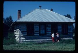
Image depicts the Hixon School.
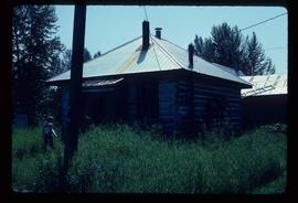
Image depicts the Hixon School.
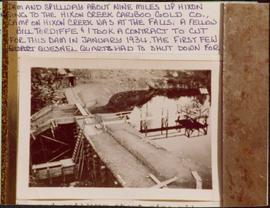
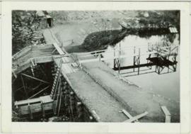
Photograph depicts a dam and spillway obstructing a creek. Photo is adhered to paper backing, upon which handwritten annotation on recto reads: “This is the dam and spillway about nine miles up Hixon Creek belonging to the Hixon Creek Cariboo Gold Co., whose main camp on Hixon Creek was at the falls. A fellow Sterling or Bill Tordiffe & I took a contract to cut the logs for this dam in January 1934. The first few winters Quart [sic] Quesnel Quartz had to shut down for snow”
Photograph depicts a dam and wooden spillway along a creek. Annotation on verso reads: "This is the dam and spillway about 9 miles up Hixon Creek belonging to the Hixon Creek Cariboo Gold Co. Original handwritten annotations on verso of photograph are signed by Tom Marsh and covered by mounting the photo on paper. Photograph is taped to paper. Typed annotation on recto of paper reads: “This is the dam and spillway about nine miles up Hixon Creek belonging to the Hixon Creek Cariboo Gold Co., whose main camp on Hixon Creek was at the falls. A fellow Sterling or (Bill) Tordiffe & I took a contract to cut the logs for this dam in January 1934. The first few winters Quesnel Quartz had to shut down for snow."
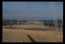
Image depicts the power lines in the Hixon area south of Prince Georg, B.C.
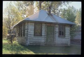
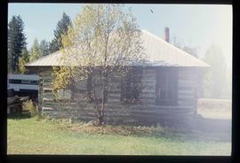
Image depicts an old building, possibly the old teacherage, somewhere in Hixon, B.C.
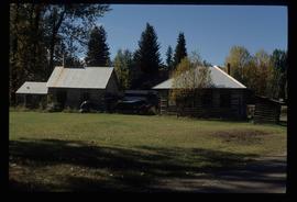
Image depicts a few buildings, possibly an old school and teacherage, in Hixon, B.C.
Image depicts an old building, possibly the old school, somewhere in Hixon, B.C.
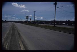
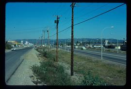
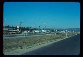
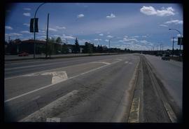
Image depicts a view along Highway 97 in Prince George, B.C.
Image depicts Highway 97 at 15th Ave. looking north. Map coordinates 53°54'36.0"N 122°46'55.5"W
Image depicts Highway 97 at 15th Ave. looking north. Map coordinates 53°54'42.1"N 122°46'53.1"W
Image depicts a section of Highway 97 looking south. Map coordinates 53°55'10.3"N 122°46'54.9"W
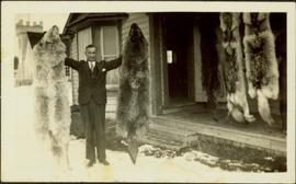
Photograph depicts H.F. Glassey wearing a suit and tie, holding up a wolf pelt in both hands. House stands behind Glassey, pelts hanging from eaves in front of porch. These pelts came from the Teslin Lake area (this region spans Northern British Columbia and the Yukon Territory). Anglican Church partially visible in left background. Typed annotation on recto of photograph: "Come up and do some hunting." Typed caption below this photograph: "Atlin." See also items 2009.5.2.68 & 2009.5.2.69.
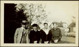
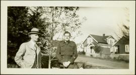
Bert Glassey stands to left of three unknown men. Second from left: young man in suit, tie, and military hat. Third from left: man in navy uniform. Far right: man in what is believed to be a pilot's uniform. Trees in left background, street and houses in right background.
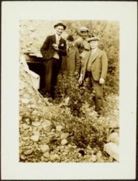
Glassey stands with three men in mine adit, rocky hillside and vegetation in background.
Bert Glassey stands to left of man wearing what is believed to be a pilot's uniform. Trees in left background, street and houses in right background.
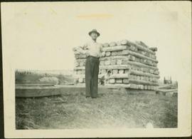
Glassey stands with dog by tall pile of logs built for unknown purpose, hills and cliffs in background. Handwritten annotation on recto of photograph: "Hullat, B.C."
