2012.13.1.63.13
·
Item
·
Aug 1989
Part of J. Kent Sedgwick fonds
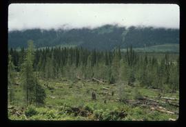
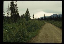
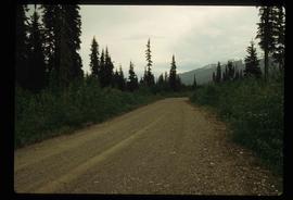
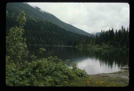
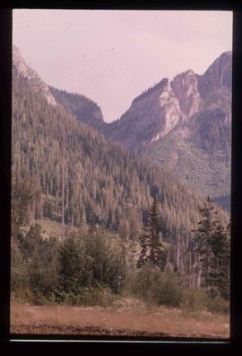
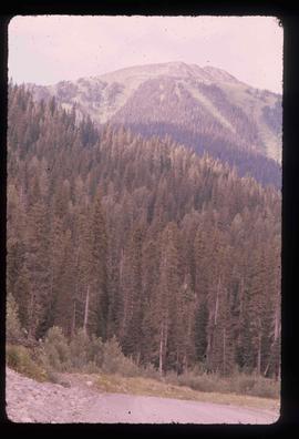
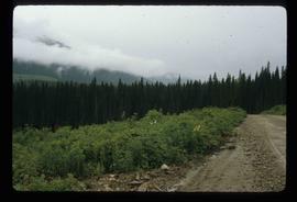
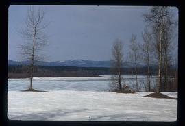
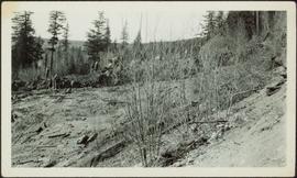
Image depicts a view of the Herrick River in what is possibly McGregor Canyon; the slide is simply labelled "McG Canyon."