2004.1.2.1.44
·
Item
·
ca. 1930
Part of Phipps-Mackenzie Collection
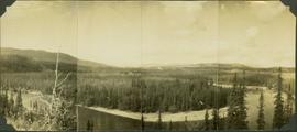
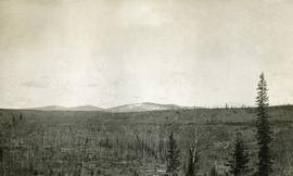
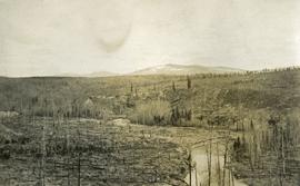
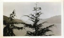
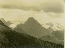
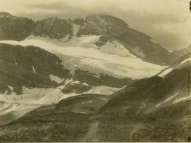
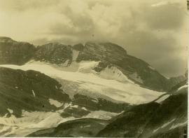
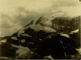
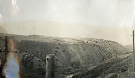
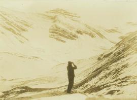
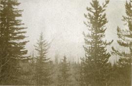
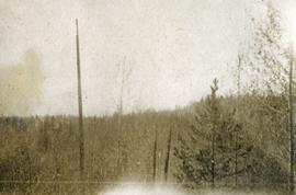
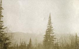
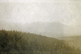
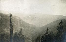
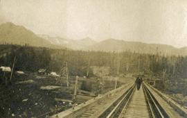
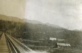
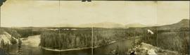
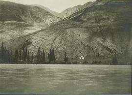
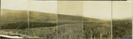
Item is a panoramic photograph of Ingenika Valley.