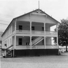
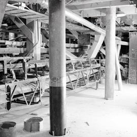
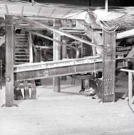
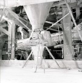
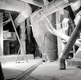
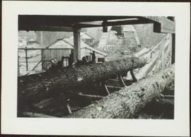
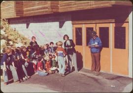
Handwritten annotation on verso reads: “Hockey School, Terrace”.
The pair stands beside trees in foreground, opposite shore visible in background.
Handwritten annotation on verso reads: “with Peter Jones, 1977”.
The pair stands beside trees in foreground, opposite shore visible in background.
Handwritten annotation on verso reads: “on Highway 37”.
Handwritten annotation on verso reads: “Gag photo with my special assistant Lucie Lambert, August 1977, Vancouver.”
Four unidentified men sit with Faulkner and Campagnolo at table. Man wearing microphone and headphones is visible in background.
Buildings and power lines cross midground, mountains stand in background.
Handwritten annotation on verso reads: “Kispiox with Hugh Faulkner”.
Photograph depicts a open mining site at the base of a mountain, forested landscape visible in background and unidentified mining equipment visible in the midground.
Photograph depicts three men panning in stream, sluiceway behind them. Rocky banks in foreground, forest in background.
Unidentified mining excavation equipment (might be a type of drill) located in front of a forested landscape.
Photograph is a printed postcard depicting an unidentified mining building situated on a hillside surrounded by mining debris. Possibly located in Stewart B.C.
Photograph depicts lumber piles and what appears to be a very long sluicing trough along Otter Creek. Forest and hills in background. Handwritten annotation on verso of photograph: "Otter Creek 6/6/37". See also item 2009.5.2.70.
Photograph depicts a car, two bulldozers and some steel drums at the side of a mining access road in the winter.
Photograph depicts a mineral ore (lead or zinc?) mines near the ghost town of Sandon, on the road between Kaslo and New Denver.
Photograph depicts the Cassiar mine, switchback road in foreground, mountain range in background. Pit is visible behind the West peak. The new mine garage can be seen on West peak just above "#7 switchback" in centre of image.
Photograph depicts view of mine road in valley, from mountain above. Plant, tailings pile, and town visible in distance. South mountains in background. Handwritten annotation on verso of photograph: "1961", on recto: Townsite and Plantsite from mine."
Photograph depicts the mine road in valley below bulldozer parked on edge of mountain. Cassiar plant and town visible in distance, south mountains behind them in background. Photo also depicts what appears to be a cloud rising from the tailings pile in plantsite.
Photograph depicts four mine sweepers crewed by officer cadets from Royal Roads that were undergoing navigational instruction. The sweepers were tied up for the night.
Photograph depicts four mine sweepers crewed by officer cadets from Royal Roads, Esquimalt.
Image depicts what appears to be a junkyard for old mining equipment at an uncertain location, though possibly near Gibraltar.
Photograph depicts a public display erected in Slocan. Visible is a mine shaft ore hauling donkey engine of 1921.
Photograph depicts a mine ore car exhibited on the site of the Granby Mine at the ghost town of Phoenix, near Grand Forks.
Photograph depicts a mine 200 yards south of Moyie village, which is 20 miles south of Cranbrook. It produced silver, zinc, and lead from 1900-1910 and had a smelter a quarter mile away. The shaft was 900 ft. deep, with levels going under Moyie Lake. The head gear dates from 1925-1935 and has electric winding.
Image depicts a group of people at a mine somewhere near Hazelton, B.C.
Photograph depicts a narrow gauge mine locomotive built bu Hunslet Engine Company Ltd., Leeds, England in 1949. It was used by the Elk River Colliery until about 1965.
Photograph depicts buildings near West Peak of Cassiar mine. Haul trucks parked near old mine garage in background, new mine garage and unknown buildings in foreground. Mine valley crosses midground, expansive western mountain range in background.
Photograph depicts a mine car at Moyie mine, at Moyie, 20 miles south of Cranbrook. The mine produced silver, zinc, and lead, and worked principally from 1900-1910. It is now disused.
Photograph depicts the mine buildings of the mine at Coal Creek that closed in 1959. The newer buildings date to circa 1930. Much of the standard gauge trackage of Morrissey, Fernie, and Michel railway (subsidiary of the Great Northern Railway) in mine area remains. The track between Coal Creek and Fernie has not been lifted.
Photograph depicts a mine building at the copper mine in Britannia Beach. The mine was still in use and well maintained.
Photograph depicts chute from distance. Annotation on verso of photograph: "CASSIAR ASBESTOS CORP. LTD. MINE AND ORE CHUTE ON McDAMES MOUNTAIN".
Photograph depicts the Cassiar mine. North and South peak featured in background, and West peak in left foreground. Pit is being developed between South peak and West peak. Old mine garage is visible in lower centre of image, and crushing plant in right foreground. Mountain range in distance.
Image depicts a view of the Millar Addition suburb in Prince George, B.C.
Photograph depicts the inside of a mill.
Photograph depicts a work area in a mill.
Photograph depicts a work area in a mill with danger signs in English, French, German, and Spanish.
Photograph depicts the inside of a mill.
Photograph taken on the CPR branch from Vernon to Lumby. Depicts a mill just west of Lumby (Possibly Lavington Planer Mills or Riverside Forest Mill). Daily way freights by CN and CP.
Overview of the Giscome sawmill behind road. Lumber yard is visible in foreground while mill stands in background.
Handwritten annotation in pencil on verso: "Giscome Mill / lumber yard in foreground".
Item is a photograph of a small mill operation.