2009.5.3.127
·
Item
·
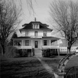
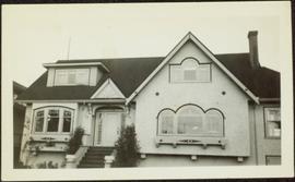
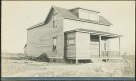
[ca. 1920]
Part of Taylor-Baxter Family Photograph Collection
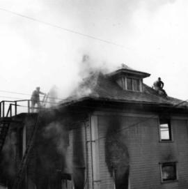
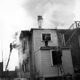
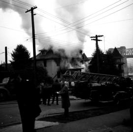
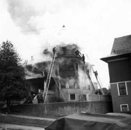
Photograph depicts large house in cleared area featuring a covered front porch. This is speculated to be the home in which A.K. Bourchier once lived. A second building is semi-visible in background.