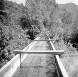
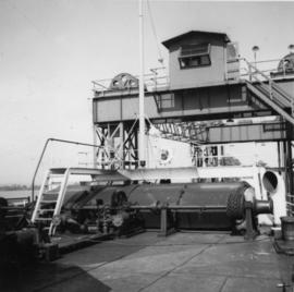
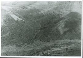
Showing 20407 results

Archival description
20407 results with digital objects Show results with digital objects
Flooded Area
2012.13.1.87.002 · Item · [between 1975 and 1995]
Part of J. Kent Sedgwick fonds

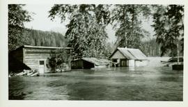
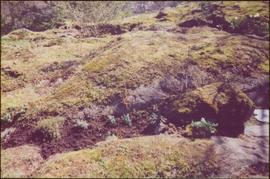
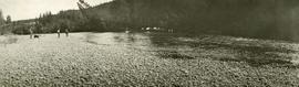
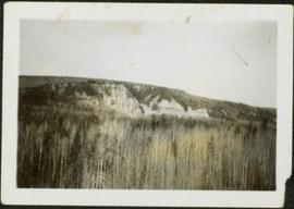
Image depicts a flooded area with an old sawdust pile in the background. Likely near McGregor, B.C.

Flooded Railway Camp
2009.5.3.96 · Item · [1936?]
Part of Taylor-Baxter Family Photograph Collection

Photograph depicts lane in front of tent buildings flooded with water, forest trees in background. Photograph taken from canoe, portion of canoe visible in foreground. It is believed that this photograph may depict the Island Cache in flood, at Prince George, BC.

Flooded Railway Camp
2009.5.3.97 · Item · [1936?]
Part of Taylor-Baxter Family Photograph Collection

Photograph depicts lane in front of tent buildings flooded with water. Tree in midground, forest trees in background. A man can be seen between first and second row of tent buildings. Photograph taken from canoe, portion of canoe visible in right foreground. It is believed that this photograph may depict the Island Cache in flood, at Prince George, BC.

Flute
2009.7.1.210 · Item · [ca. 1939]
Part of Archdeacon W. H. Collison fonds

Carved wooden flute. Stamped annotation on verso reads: “Department of Mines and Resources, Photographic Section. Oct. 6, 1939”. Numeric annotation on verso: “33-6”

Foam pumper and truck
2013.6.36.1.082.13 · Item · 2 Nov. 1968
Part of David Davies Railway Collection

Photograph taken at the main main fire station on the site of the former RCAF station near the Vancouver Airport. Visible is foam pumper #2, operated by the Federal Department of Tranpsort, as well as a Sicard truck.

Footbridge
2012.13.1.84.36 · Item · 1994
Part of J. Kent Sedgwick fonds

Image depicts a narrow footbridge suspended over a river at an uncertain location.

Foothills Bridge
2012.13.1.3.123 · Item · 12 Oct. 1989
Part of J. Kent Sedgwick fonds

Image depicts the Foothills Bridge over the Nechako river on the Foothills Boulevard in Prince George, B.C. Map coordinates 53°56'52.5"N 122°48'59.9"W

Forest
2012.13.1.41.15 · Item · 2002
Part of J. Kent Sedgwick fonds

Image depicts a forest, possibly somewhere near Woodpecker, B.C.

Forest
2012.13.1.10.09 · Item · 22 Sept. 1991
Part of J. Kent Sedgwick fonds

Image depicts a few unknown individuals walking through the forest at Cheslatta.

Forest
2012.13.1.41.18 · Item · 2002
Part of J. Kent Sedgwick fonds

Image depicts a forest, possibly somewhere near Woodpecker, B.C.

Forest
2012.13.1.13.14 · Item · Sep. 1984
Part of J. Kent Sedgwick fonds

Image depicts a view of the forest in the Fort George Canyon Provincial Park, B.C.