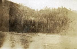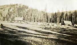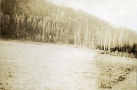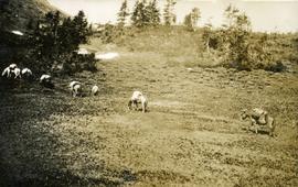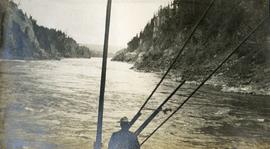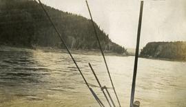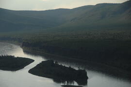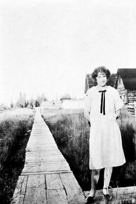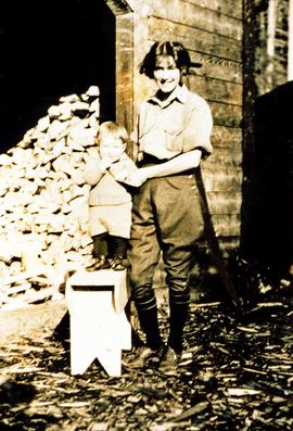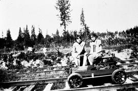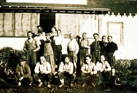
2014.10.1.420
·
Item
·
1920
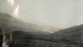
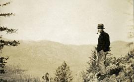
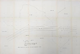
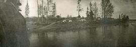
Part of Arthur Holland Land Surveying Collection
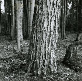
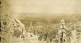
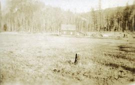
Photograph depicts a stump in the foreground, a building in the midground and forested mountains in the background.