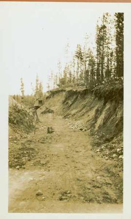
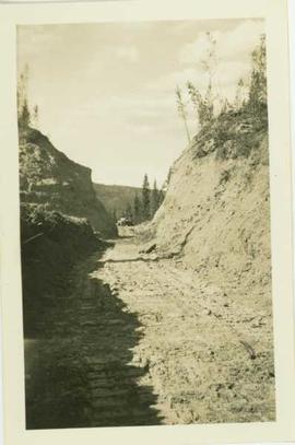
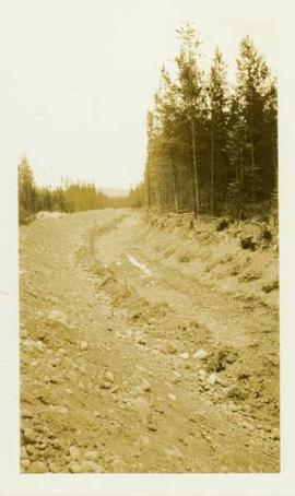
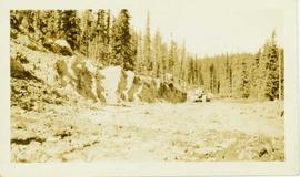
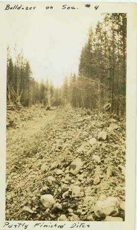
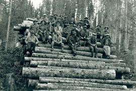
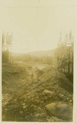
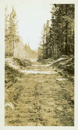
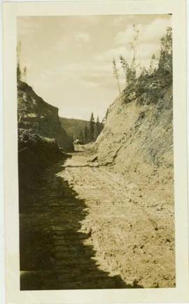
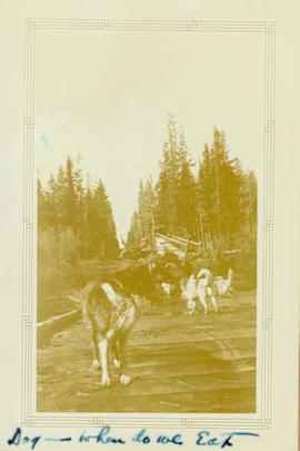
Photograph depicts a sled dog looking back at other sled dogs and a wagon loaded with sleds located on a wooden road through a forested area.
Photograph depicts a large ditchline with a steamshovel and forested landscape in the background
Photograph depicts a wide ditchline cut into a rocky landscape with a forested region located in the far background.
Photograph depicts a ditch cut through a forested landscape.
Photograph depicts a bulldozer operating in a large ditch constructed within a forested landscape.
Photograph depicts a ditch constructed by a bulldozer within a forested area. Annotation on recto of photograph reads: "Bulldozer on Sec. #4 - partly finished ditch"
Item is a copyprint reproduced from the British Columbia Forest Service photographic records held at BC Archives.
Photograph depicts a distance perspective of an unidentified man standing in a large ditchline that runs through a forested landscape.
Photograph depicts a dirt road through a forested landscape.
Photograph depicts a dirt road cut between two highbanks with a oil cans (?) stacked in the background between the banks.
Item is a photograph of a copy print that has been reproduced as a slide, resulting in low photographic quality. Location of original photograph unknown.
Map of Timber Sale X72108 shows area to be scarified, as well as previously logged areas. Location is outside Prince George in the Upper Fraser area near Kenneth Creek.
Map of Timber Sale X72108 shows area to be scarified. Location is outside Prince George in the Upper Fraser area near Kenneth Creek.
Photograph depicts two pick hammers laid in asbestos fibre. Annotations on note glued to recto of photograph: "ASBESTOS"; "Detail view of asbestos talus. Early test pit near top of showing. Western slope." Areas of image have been labeled "A" and "B". Photo caption under printed copy of image in 1952 Annual Report: "A - Asbestos fibre partially opened by frost action. B - Serpentine rock originally containing the asbestos fibre."
Annotation on slide: "Summit defective cull, Marked-to-cut swept log, Summit Lake selection trial".
Annotation on slide: "Decay in subalpine fire scarred by 1955 stand entry (logged w 91/92), Summit Lake Trial".
This image is part of the outbound sequence of aerial images obtained on the helicopter flight to the Klutlan Glacier study site. The sequence starts from the base camp at the White River crossing on the Alaska Highway and heads south, to a point just upvalley of the debris-covered terminus (approx. 10-15 km from Alaska border), and turning back north to the landing spot on the Generc River floodplain close to the study site (see Fig. 1 in paper).
This image is part of the return trip sequence of aerial images obtained on the helicopter flight leaving the Klutlan Glacier study site. On the return leg at the end of the day, the flight initially went upvalley to pick up another party.
This image is part of the return trip sequence of aerial images obtained on the helicopter flight leaving the Klutlan Glacier study site. On the return leg at the end of the day, the flight initially went upvalley to pick up another party. This image was taken after the helicopter turned north to return to base camp.
This image is part of the outbound sequence of aerial images obtained on the helicopter flight to the Klutlan Glacier study site. The sequence starts from the base camp at the White River crossing on the Alaska Highway and heads south, to a point just upvalley of the debris-covered terminus (approx. 10-15 km from Alaska border), and turning back north to the landing spot on the Generc River floodplain close to the study site (see Fig. 1 in paper).