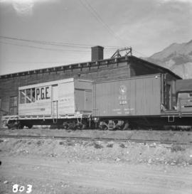
2020.08.79
·
Item
·
[between 1913 and 1923]
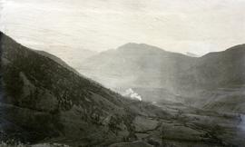
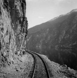
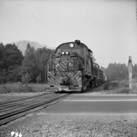
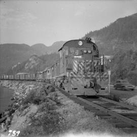
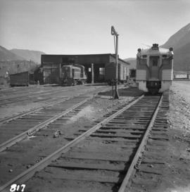
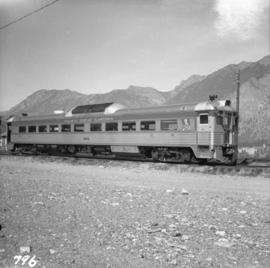
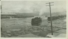
Part of Pacific Great Eastern Railway Region Photograph Collection
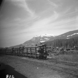
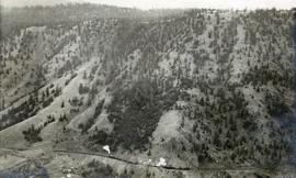
Photograph depicts a view of a train on the Pacific Great Eastern Railway line approximately 2 miles south of the Pavilion station.