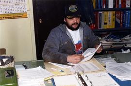
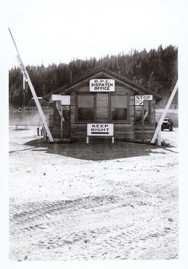
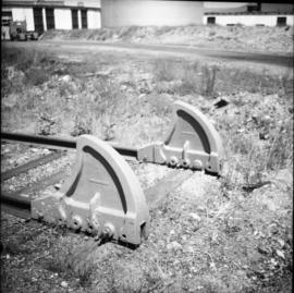
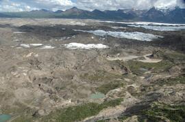
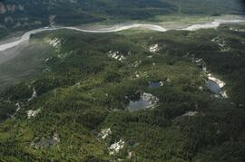
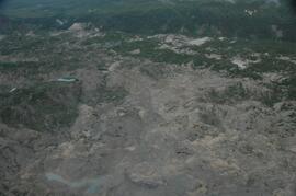
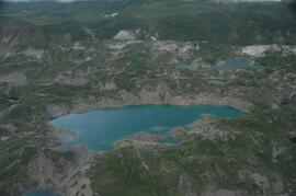
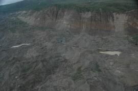
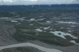
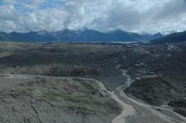
Image depicts a the Danson Industrial Park in Prince George, B.C.
A boat.
Photograph depicts Special Olympics athlete Daphne Pendleton on the left with an unknown woman.
Image depicts light from an unidentified light-source shining on a long, vertical object of an uncertain nature, though it is possibly a tree. The rest of the image is too dark to make out.
Item is a photograph of a little girl playing with a spoon and a tin on a sandy beach.
Caption: On the scow between Stuart Lake and Tatla Lake. Dave Hoy and family plus Bob. Item is a photograph of three men, three boys and a dog standing beside rowboats brought up on shore.
Photograph depicts utilities foreman Dave Tripp sitting at a desk.
Photograph depicts a lake in the foreground with a possible island in the center of the photograph, low treed hills in the background.
Photograph depicts lake water in the foreground, low treed hills in the background.
Photograph depicts the bow of a boat in the foreground, lake water and low treed hills in the background.
Photograph taken in Trout Lake City which had no electricity, so the pumps displayed were hand worked. The car belonged to the Davies family. It was a 1953 Vauxhall Velox.
Photograph depicts temporary warehouse clerk Dawn McGill sitting at a desk.
Image depicts a road with a guardrail and open fields somewhere near Dawson Creek, B.C.
Image depicts a street of businesses in Dawson Creek, B.C.
Image depicts a large building which is labelled "Alberta Pool Elevators Ltd. Dawson Creek," located in Dawson Creek, B.C.
Image depicts the interior of what is possibly a heritage building in Dawson Creek, B.C.
Image depicts a street of businesses and Mile "0" of the Alaskan Highway in Dawson Creek, B.C.
Image depicts Mile "0" of the Alaskan Highway in Dawson Creek, B.C.
Image depicts the Station Museum in Dawson Creek, B.C.
Image depicts the interior of the Station Museum in Dawson Creek, B.C.
Image depicts stuffed wildlife exhibits inside the Station Museum in Dawson Creek, B.C.
Image depicts the Station Museum and the "Alberta Pool Elevators Ltd." building in Dawson Creek, B.C.
Photograph depicts a dead end stop at the CPR Penticton yard.
Image depicts a church in Deadman Creek, west of Kamloops, B.C.
Image depicts several children and numerous adults inside a church in Deadman Creek, near Kamloops, B.C.
Image depicts the corner of an old log building in Deadman Creek, near Kamloops, B.C.
Image depicts two children in front of an old log building on the Deadman Creek reserve, located west of Kamloops, B.C.
Item is a photograph of a waterfall.
Image depicts Upper Fraser residential area during demolition of town site. Map coordinates 54°06'51.6"N 121°56'26.3"W
Image depicts debris left in residential area on Giscome, B.C. townsite. Map coordinates 54°04'16.7"N 122°21'55.1"W
This image is part of the outbound sequence of aerial images obtained on the helicopter flight to the Klutlan Glacier study site. The sequence starts from the base camp at the White River crossing on the Alaska Highway and heads south, to a point just upvalley of the debris-covered terminus (approx. 10-15 km from Alaska border), and turning back north to the landing spot on the Generc River floodplain close to the study site (see Fig. 1 in paper).
This image is part of the return trip sequence of aerial images obtained on the helicopter flight leaving the Klutlan Glacier study site. On the return leg at the end of the day, the flight initially went upvalley to pick up another party.
This image is part of the return trip sequence of aerial images obtained on the helicopter flight leaving the Klutlan Glacier study site. On the return leg at the end of the day, the flight initially went upvalley to pick up another party. This image was taken after the helicopter turned north to return to base camp.
This image is part of the outbound sequence of aerial images obtained on the helicopter flight to the Klutlan Glacier study site. The sequence starts from the base camp at the White River crossing on the Alaska Highway and heads south, to a point just upvalley of the debris-covered terminus (approx. 10-15 km from Alaska border), and turning back north to the landing spot on the Generc River floodplain close to the study site (see Fig. 1 in paper).
This image is part of the return trip sequence of aerial images obtained on the helicopter flight leaving the Klutlan Glacier study site. On the return leg at the end of the day, the flight initially went upvalley to pick up another party.