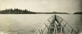
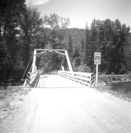
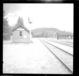
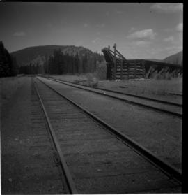
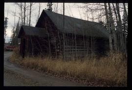
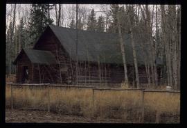
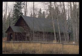
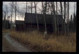
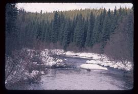
Image depicts the Crooked River in the Crooked River Pronvicial Park near Bear Lake, B.C.
Image depicts the curling club and skating rink buildings in Bear Lake, B.C.
Image depicts some houses in Bear Lake, B.C.
Haystacks in a field.
Image depicts a view of Bear Pass, likely from Glacier Highway and somewhere in or near Bear Glacier Provincial Park, located north-east of Stewart, B.C.
Image depicts what is possibly Bear River in the Bear Glacier Provincial Park.
Image depicts the Bear River.
Image depicts what is possibly Bear River in the Bear Glacier Provincial Park.
Image depicts what is possibly Bear River, flowing out from an opening in the Bear Glacier.
Image depicts what is possibly Bear River flowing past what is likely a section of the Bear Glacier.
Image depicts a section of road running through the Bear River Gorge.
Publication contains report entitled "Bear River Pass Railway Feasibility" created for the District of Stewart.
Photograph of a group of men gathered outside of "G.A. Clothier Assay Office." Two of the men are carrying a large bear carcass between them on a tree branch. Printed annotation on recto reads: "Bear Shot Near Stewart B.C. Hughes #18."
Photograph depicts the head and skin of a bear on display in front of log building. Trees in background.
Image depicts a snow sculpture of a bear, possibly during the Winter City Conference, in Prince George, B.C. Taken at the Prince George Civic Center. Map coordinates 53°54'45.6"N 122°44'59.6"W
Bear tracks in the dirt
The item is a photograph depicting the derelict Bearman barn in Newlands.
The item is a photograph depicting the derelict Bearman barn in Newlands. Annotation on reverse side of photograph states, "Bearman Barn, Newlands."
Photograph depicts a man (Mr. McCorkell) sitting down on a pile of logs at Germansen Lake.
Map depicts sea floor of the Beaufort Sea, fault lines, and diapirs.
Map depicts British Columbia in its entirety as-well as smaller subsequent maps of Vancouver, Victoria and Vicinity, Prince George, Kamloops, Nelson, and Vancouver Island.
Mountain range above a lake
Remains of a tree fallen by a beaver
Fallen tree
Photograph depicts a cove with treed shorelines. Image is hazy. Handwritten annotation below photograph reads, "Beaver Cove. Pulp and sawmills".
Photograph depicts the bow of a boat in the foreground, lake water and low treed hills in the background.
Image depicts the canoe group preparing to canoe on Beaver Pond, which is the start of Kibbee Lake.
Photograph depicts Beaver Trucking located on Kamloops Indian Reserve No. 1 on Tk'emlups te Secwepemc territory, Kamloops, BC. It had been a company since 1990 and received 2 or 3 boxcars weekly loaded with items from Toronto that were then delivered around town. Davies later noted that the business was destroyed by arson in 1997.
Image depicts a field of hay somewhere in Beaver Valley.
Photograph depicts the Beaverdell Bridge, located between Rock Creek and Kelowna, BC
Photograph depicts the CPR Beaverdell depot located at about 35 miles northeast of Osoyoos and at mile 91.4 east of Penticton on the Carmi Subdivision. The traffic here is ore from a local mine, some lumber, and freight for the village. The depot building is in use and has a telegraph. There is also siding capacity for 31 cars. This section was built between 1914 and 1915. The view is looking north.
Photograph depicts the CPR depot at Beaverdell, located at about mile 42.3 on the Carmi Subdivision. To the right is an ore loader for concentrate from mines. There is no rail traffic at this date. The view is looking north.
Image depicts a log cabin in Beaverly.
Detail of tree bearing obvious beaver marks
Image depicts what appears to be a small ranch. The slide is labelled "Becher's Prairie," possibly meaning Becher's Prairie Provincial Park in B.C.
Photograph depicts wood building and signage, with traffic regulating beams raised on either side.
Handwritten annotation on verso reads: “Dawson Creek B.C. Bechtel Price Callahan Dispatch Office [1943]”
Habit of <i>Dryas octopetala</i> in flower [Nunavut?]
Habit of <i>Arctotis stoechadifolia</i>
Habit of Arnica in flower
Connaught Hill Park, Prince George
Habit of Antennaria microphylla [?] in flower
Habit of <i>Bellis</i> in yellow flower
Collection consists of 1 photocopy of the Bedaux Expedition Map. Entitled "Plan of the region about the 58th parallel from longitude 124 30' to longitude 130 west, northern British Columbia, Canada." Created by E.C.W. Lamarque, who was in charge of exploratory work for Charles E. Bedaux's 1934 expedition in Northern B.C.