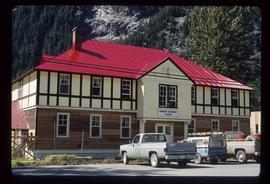
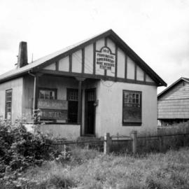
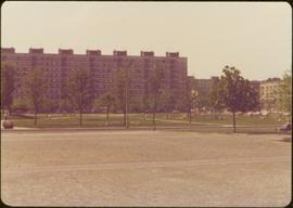
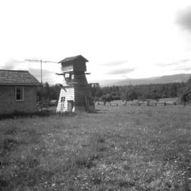
2009.6.13.46.34
·
Item
·
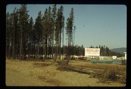
1978
Part of The Honourable Iona Campagnolo fonds
Proposed site location of Family Recreation Complex in Whitehorse includes a proposed running track, substantial parking and a service road.