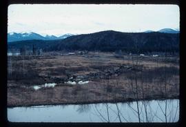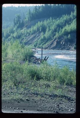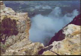
2009.6.1.496
·
Item
·
November 1987
Part of The Honourable Iona Campagnolo fonds
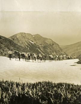
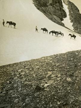
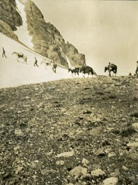
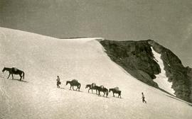
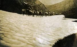
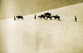
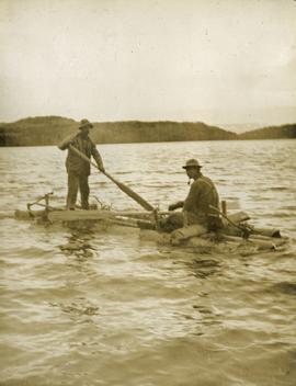
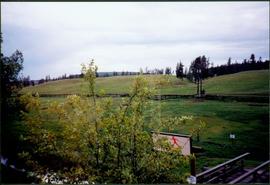
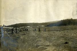
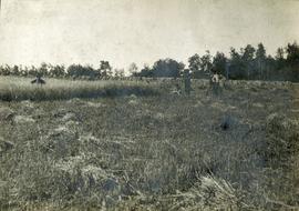
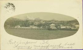
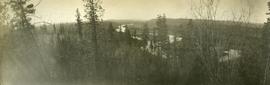
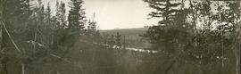
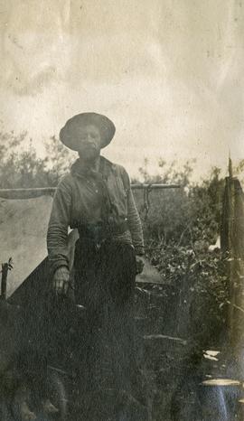
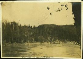
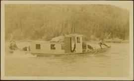
Photograph is one of seven images orginally included within a diary dated 12-22 November 1987. Photos depict a day to day account of Canadian University Service Overseas (CUSO) mission to establish whether or not a Canadian presence is justified in the fight against Apartheid and for the liberation of Namibia within a Soviet Sphere Socialist State. See also items 2009.6.1.490 - 2009.6.1.495.