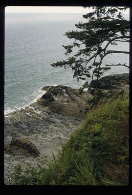
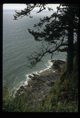
Print preview Close

Showing 3487 results

Archival description
3098 results with digital objects Show results with digital objects
Sediment Layers
2012.13.1.91.27 · Item · Oct. 1978
Part of J. Kent Sedgwick fonds

Image depicts a wall of rock with visible sediment layers at an uncertain location in the Peace River Region, possibly near Hudson's Hope.

Seton Portage Area
2012.13.1.82.12 · Item · July 1980
Part of J. Kent Sedgwick fonds

Image depicts a view of the area surrounding Seton Portage, B.C. Seton and Anderson Lake are both visible, with what is possibly either Seton Portage or Nosebag mountain also present.

Shacks and a Mountain
2012.13.1.87.028 · Item · [between 1975 and 1995]
Part of J. Kent Sedgwick fonds

Image depicts two old shacks and a mountain in the background. Possibly located in or near Longworth, B.C.

Shore Line at Airport
2012.13.1.124.02 · Item · 1970
Part of J. Kent Sedgwick fonds

Image depicts the shore line and surrounding land of a lake or river at an airport, possibly in Prince George, B.C.

Side of the Road
2012.13.1.78.64 · Item · 1982
Part of J. Kent Sedgwick fonds

Image depicts a vehicled parked on the side of the road, with a view of the coast of Haida Gwaii in the background.

2009.7.1.274 · Item · May 1908
Part of Archdeacon W. H. Collison fonds

Side view photograph of a small harbor close by a shoreline littered in organic debris. A foggy mountain range is visible in the background. Annotation on recto reads: "Wharf and Harbor Prince Rupert. May 1908 JDA."

2012.13.1.87.014 · Item · [between 1975 and 1995]
Part of J. Kent Sedgwick fonds

Image depicts railway tracks and buildings with a beehive burner on the left. The location is likely Sinclair Mills, B.C. Map coordinates 54°01'17.4"N 121°40'53.0"W