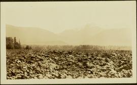
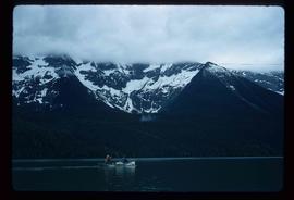
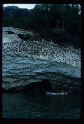
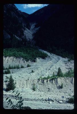
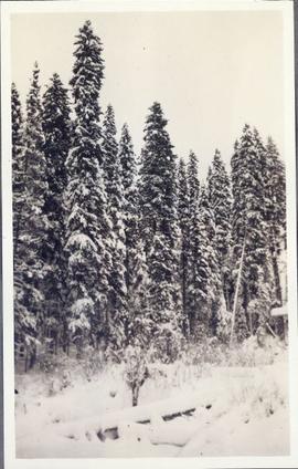
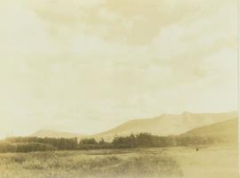
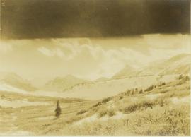
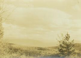
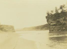
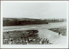
Print preview Close

Showing 3487 results

Archival description
3098 results with digital objects Show results with digital objects
Likely
2012.13.1.69.31 · Item · [1981?]
Part of J. Kent Sedgwick fonds

Image depicts a bridge, and the town of Likely on the the other side of a river.

Leo Creek - Office Building?
2012.13.1.62.22 · Item · June 1978
Part of J. Kent Sedgwick fonds

Image depicts a building, possibly an office building, next to a set of rail road tracks in Leo Creek, B.C. An unknown individual is present, and a number of barrels and culverts are visible in the foreground.

2012.13.1.78.25 · Item · 1982
Part of J. Kent Sedgwick fonds

Image depicts numerous boats docked by the Prince Rupert Fishermen's Co-operative Association from the deck of a ferry, possibly as it's leaving Prince Rupert, most likely for Haida Gwaii.

Lava Formation?
2012.13.1.50.077 · Item · [1978?]
Part of J. Kent Sedgwick fonds

Image depicts a formation of rock; presumably solidified lava, as the slide is simply labelled "lava." The location of the image is uncertain.

2009.7.1.249 · Item · ca. 1880-1920
Part of Archdeacon W. H. Collison fonds

Large crowd is gathered around main building in a harbor. Many boats visible in foreground. Smoke from tugboat partially obscures the scene. Annotation on recto reads: "Prince Rupert BC. Photo by MCrae Bros."

Lanezi Lake - Cirque
2012.13.1.55.25 · Item · 1971
Part of J. Kent Sedgwick fonds

Image depicts a cirque in the mountains surrounding Lanezi Lake. Two individuals can also be seen canoeing on the lake.

Landslide?
2012.13.1.59.15 · Item · July 1980
Part of J. Kent Sedgwick fonds

Image depicts what is possibly the remaining traces of a small land or rock slide; located somewhere near Bralorne, B.C.

Landscape perspective
2000.19.2.39 · Item · 29 Aug. 1927-26 Sept. 1927
Part of Prentiss Gray Collection

Photograph depicts an unidentified landscape view of the top of a forested area. Landscape is perhaps in the Moberly area.

2000.19.2.19 · Item · 29 Aug. 1927-26 Sept. 1927
Part of Prentiss Gray Collection

Photograph depicts a flat, sandy shoreline along the Peace River with steep cliffs rising up in the distance. A steep island with trees on top is seen rising out of the Peace River.

Landscape - Fraser River
2012.13.1.65.38 · Item · June 1975
Part of J. Kent Sedgwick fonds

Image depicts an aerial view of the land near the Fraser River. The Fraser River is barely visible on the right side of the image.