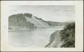
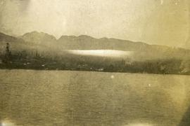
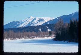
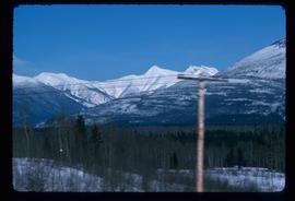
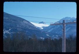
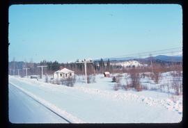
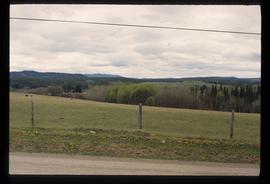
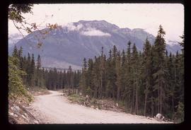
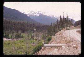
Print preview Close

Showing 3756 results

Archival description
3615 results with digital objects Show results with digital objects
Nechako Sheet
2008.2.1.23 · Item · 1 December 1942
Part of Northern BC Cartographic Collection

Colour-coded topographic map depicts surveyed lands alienated, available for purchase or lease under Land Act, and available for pre-emption. Depicts land districts, land recording districts, provincial forests, parks, triangulation stations, communities, bodies of water, transport routes, and communication lines.

Nechako River?
2012.13.1.23.08 · Item · 1973
Part of J. Kent Sedgwick fonds

Image depicts what is possibly a small section of the Nechako River on Cottonwood Island.

Nechako River?
2012.13.1.22.19 · Item · 1970
Part of J. Kent Sedgwick fonds

Image depicts a body of water in Island Cache. It is possibly a small section of the Nechako River.

Nechako Cutbanks Trail
2012.13.1.3.092 · Item · 12 Oct. 1989
Part of J. Kent Sedgwick fonds

Image depicts the cutbanks on the other side of the Nechako, taken from the nature trail at Island Cache. Map coordinates 53°55'34.6"N 122°45'52.4"W

Nechako Cutbanks Trail
2012.13.1.3.091 · Item · 12 Oct. 1989
Part of J. Kent Sedgwick fonds

Image depicts the cutbanks on the other side of the Nechako, taken from the nature trail at Island Cache. Map coordinates 53°55'34.6"N 122°45'52.4"W

Nechako Cutbanks
2012.13.1.3.090 · Item · 12 Oct. 1989
Part of J. Kent Sedgwick fonds

Image depicts the cutbanks on the other side of the Nechako, taken from the nature trail at Island Cache. Map coordinates 53°55'34.6"N 122°45'52.4"W

2009.5.3.89 · Item · [ca. 1917]
Part of Taylor-Baxter Family Photograph Collection

Photograph depicts bridge over Nechako River. Sloped cutbanks on opposite shore in background. Railroad tracks can be seen on town shore in right foreground. Handwritten annotation on verso of photograph: "NECHAKO RIVER NEAR PRINCE GEORGE B.C. N.H.D."

Near Williams Lake
2012.13.1.50.032 · Item · 1974
Part of J. Kent Sedgwick fonds

Image depicts an aerial view of some scenery near Williams Lake, B.C. The highway and BCR tracks are visible among the trees.

Near McBride
2012.13.1.85.08 · Item · 1976
Part of J. Kent Sedgwick fonds

Image depicts a view of either the Rocky Mountains or possibly the Columbia Mountains near McBride, B.C.