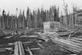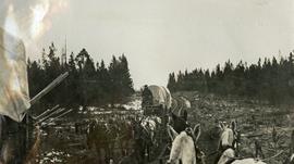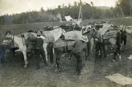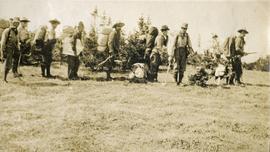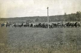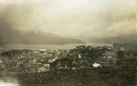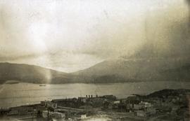
2012.05.01.01.05
·
Item
·
[ca. 1967]
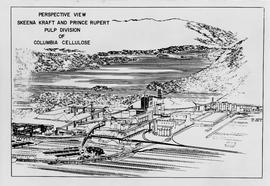
Part of Columbia Cellulose Company, Ltd. fonds