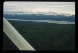
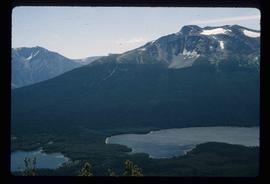
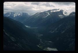
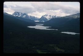
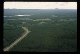
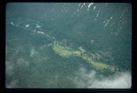
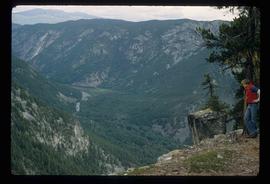
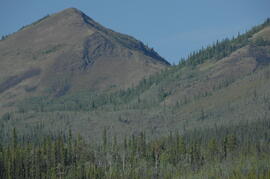
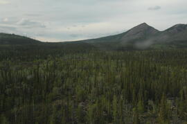
2000.1.1.3.13.56
·
Item
·
[ca. 1975]
Part of Cassiar Asbestos Corporation Ltd. fonds
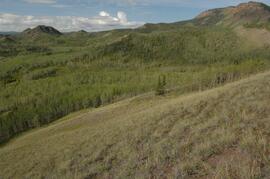
Photograph depicts the Cassiar valley: plant and tailings pile in left foreground, west end of town in right foreground. South mountain range stands in background.