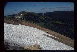
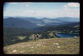
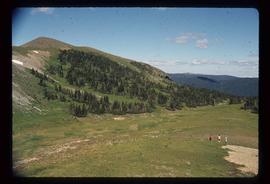
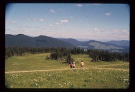
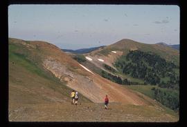
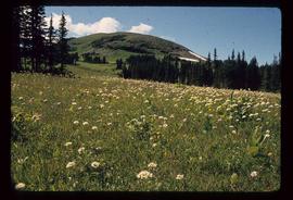
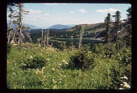
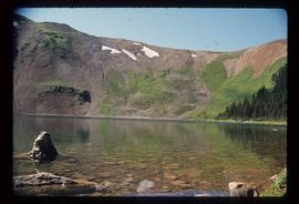
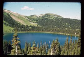
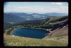
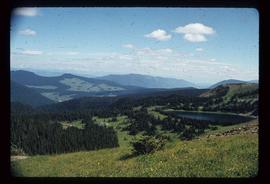
Item is a presentation of research about the transfer of Aboriginal knowledge to early female scientists for Ainley's Social Science and Research Humanities Council (SSHRC) project, "Re-explorations: Gender, Science and Environment in the 19th and 20th Century Canada and Australia."
Image depicts a road, forest, and hill rise in an uncertain location possibly near Red Rock, B.C.
Image depicts what appears to be a receding glacier on the slopes of Mt. Robson.
Image depicts the Rearguard Falls in Rearguard Falls Provincial Park near Tête Jaune Cache along the Yellowhead Highway.
Image depicts an individual sliding down a snowy trail somewhere Raven Peak.
Image depicts several individuals walking the Raven trail.
Image depicts a view of the area surrounding Raven Peak.
Image depicts Raven Peak in the Sugarbowl Grizzly Den Protected Area located on Highway 16 east of Prince George, B.C.
Image depicts a woman standing on the porch of a hut located by Raven Lake.
Image depicts a view of the area surrounding Raven Lake.
Image depicts several individuals hiking in the area surrounding Raven Lake.
Image depicts several individuals hiking in the area surrounding Raven Lake; the lake is visible in the background.
Image depicts a view of the area surrounding Raven Lake.
Image depicts several individuals hiking in the area surrounding Raven Lake.
Image depicts a small section of the area surrounding Raven Lake.
Image depicts a view of Raven Lake in the background.
Image depicts Raven Lake.
Image depicts a view of Raven Lake.
Image depicts a view of Raven Lake and the surrounding area.
Handwritten annotation on verso reads: "Canyon on Nass River". Forest and mountains visible on shore in distance.
Slide depicts a burning building at the Aleza Lake Experiment Station on the date it was shut down by the BC Forest Service.
Slide depicts the Ranger Station at the Aleza Lake Experiment Station.
Photograph depicts a man and horse standing outside a log cabin covered in snow and icicles. In the foreground of the image several loaded packs are laid out surrounding the cabin. The cabin belonged to ranger Alex Nelles' and was located at Willow Creek.
Image depicts the ranch house of the Ranch of the Vikings, originally owned and operated by Bjorger Pettersen, a member of the Canadian Ski Hall of Fame, from 1970 until 1985. It is located somewhere west of McBride, B.C.
Image depicts a pair of Rainbow trout from Indianpoint Lake.
Footage of a rainbow that can be see through mist over a body of water, either a lake or river.
Possible locations include the Bella Coola River or the Dean River.
Photograph depicts snow bank between construction camp and railway tracks. Power lines and forest trees in background.
Image depicts a group of individuals who appear to be searching through the rocks near a railway track. It is possibly part of an educational trip.
Photograph depicts the Grand Trunk Pacific Railway Bridge crossing the Bulkley River. A smaller bridge speculated to be used by pedestrians stands below and parallel to the railway bridge. Photo was taken from shore, with opposite shore crossing midground. Trees in foreground, mountains in background. A small building can be seen at opposite end of bridge. Other sections of railway can be seen on hill in background. Handwritten annotation on verso of photograph: "HAZELTON BULKLEY BRIDGE."
Image depicts two merging railway tracks, and what appears to be a frozen river, somewhere near the summit of a mountain.
Photograph of a stretch of railroad passing by a small body of water. Mountains are visible in the background.
Photograph depicts winter landscape with track and logs in foreground. Bridge, trees and cleared land in background.
Image depicts a man and woman standing in the mouth of a tunnel from the old Kettle Valley Rail Road.
Image depicts the mouth of a tunnel from the Kettle Valley Rail Road.
Image depicts an unknown figure standing inside a tunnel from the old Kettle Valley Rail Road.
Image depicts a tunnel from the old Kettle Valley Rail Road.
Image depicts a woman standing inside a tunnel from the old Kettle Valley Rail Road.
Image depicts the mouth of a tunnel from the Kettle Valley Rail Road.
Image depicts rail road tracks west of Takla Landing.
Image depicts a rail road construct from Highway 97 at Mile 126; the slide is also labelled "McAlister."
Annotation on slide: "20 cm radial growth on released subalpine fir, Summit Lk trial".
Image depicts Kent Sedgwick standing in front of a sign with a dog in Quesnelle Forks, B.C. The sign describes the history of the site, which began as a mining camp in 1859, but was later completely abandoned after a fire in 1866. It is now managed as a Forest Service Recreation Project.
Image depicts the forest surrounding Quesnelle Forks.
Image depicts a dirt road and power-lines running through the woods, possibly near Quesnelle Forks.