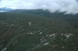
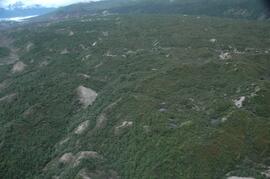
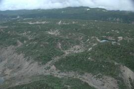
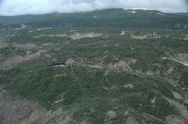
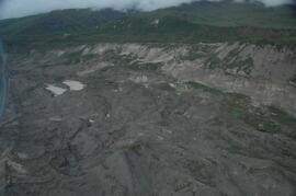
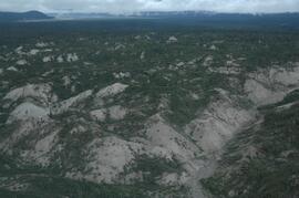
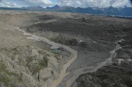
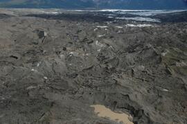
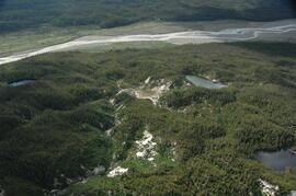
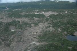
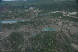
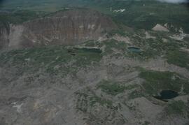
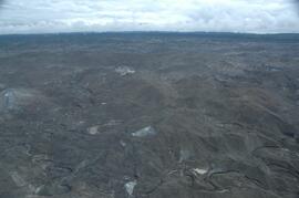
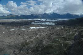
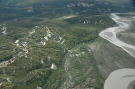
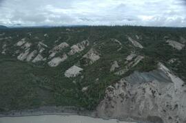
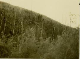
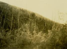
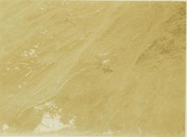
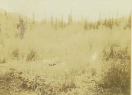
This image is part of the return trip sequence of aerial images obtained on the helicopter flight leaving the Klutlan Glacier study site. On the return leg at the end of the day, the flight initially went upvalley to pick up another party. This image was taken after the helicopter turned north to return to base camp.
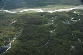
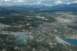
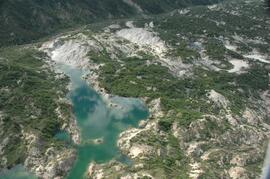
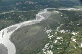
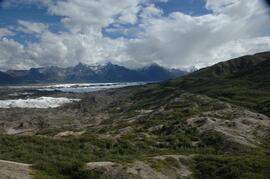
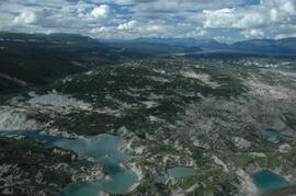
This image is part of the outbound sequence of aerial images obtained on the helicopter flight to the Klutlan Glacier study site. The sequence starts from the base camp at the White River crossing on the Alaska Highway and heads south, to a point just upvalley of the debris-covered terminus (approx. 10-15 km from Alaska border), and turning back north to the landing spot on the Generc River floodplain close to the study site (see Fig. 1 in paper).
This image is part of the outbound sequence of aerial images obtained on the helicopter flight to the Klutlan Glacier study site. The sequence starts from the base camp at the White River crossing on the Alaska Highway and heads south, to a point just upvalley of the debris-covered terminus (approx. 10-15 km from Alaska border), and turning back north to the landing spot on the Generc River floodplain close to the study site (see Fig. 1 in paper).
This image is part of the outbound sequence of aerial images obtained on the helicopter flight to the Klutlan Glacier study site. The sequence starts from the base camp at the White River crossing on the Alaska Highway and heads south, to a point just upvalley of the debris-covered terminus (approx. 10-15 km from Alaska border), and turning back north to the landing spot on the Generc River floodplain close to the study site (see Fig. 1 in paper).
This image is part of the outbound sequence of aerial images obtained on the helicopter flight to the Klutlan Glacier study site. The sequence starts from the base camp at the White River crossing on the Alaska Highway and heads south, to a point just upvalley of the debris-covered terminus (approx. 10-15 km from Alaska border), and turning back north to the landing spot on the Generc River floodplain close to the study site (see Fig. 1 in paper).
This image is part of the outbound sequence of aerial images obtained on the helicopter flight to the Klutlan Glacier study site. The sequence starts from the base camp at the White River crossing on the Alaska Highway and heads south, to a point just upvalley of the debris-covered terminus (approx. 10-15 km from Alaska border), and turning back north to the landing spot on the Generc River floodplain close to the study site (see Fig. 1 in paper).
This image is part of the outbound sequence of aerial images obtained on the helicopter flight to the Klutlan Glacier study site. The sequence starts from the base camp at the White River crossing on the Alaska Highway and heads south, to a point just upvalley of the debris-covered terminus (approx. 10-15 km from Alaska border), and turning back north to the landing spot on the Generc River floodplain close to the study site (see Fig. 1 in paper).
This image is part of the return trip sequence of aerial images obtained on the helicopter flight leaving the Klutlan Glacier study site. On the return leg at the end of the day, the flight initially went upvalley to pick up another party.
This image is part of the return trip sequence of aerial images obtained on the helicopter flight leaving the Klutlan Glacier study site. On the return leg at the end of the day, the flight initially went upvalley to pick up another party.
This image is part of the return trip sequence of aerial images obtained on the helicopter flight leaving the Klutlan Glacier study site. On the return leg at the end of the day, the flight initially went upvalley to pick up another party. This image was taken after the helicopter turned north to return to base camp.
This image is part of the return trip sequence of aerial images obtained on the helicopter flight leaving the Klutlan Glacier study site. On the return leg at the end of the day, the flight initially went upvalley to pick up another party. This image was taken after the helicopter turned north to return to base camp.
This image is part of the return trip sequence of aerial images obtained on the helicopter flight leaving the Klutlan Glacier study site. On the return leg at the end of the day, the flight initially went upvalley to pick up another party. This image was taken after the helicopter turned north to return to base camp.
This image is part of the return trip sequence of aerial images obtained on the helicopter flight leaving the Klutlan Glacier study site. On the return leg at the end of the day, the flight initially went upvalley to pick up another party. This image was taken after the helicopter turned north to return to base camp.
This image is part of the outbound sequence of aerial images obtained on the helicopter flight to the Klutlan Glacier study site. The sequence starts from the base camp at the White River crossing on the Alaska Highway and heads south, to a point just upvalley of the debris-covered terminus (approx. 10-15 km from Alaska border), and turning back north to the landing spot on the Generc River floodplain close to the study site (see Fig. 1 in paper).
This image is part of the outbound sequence of aerial images obtained on the helicopter flight to the Klutlan Glacier study site. The sequence starts from the base camp at the White River crossing on the Alaska Highway and heads south, to a point just upvalley of the debris-covered terminus (approx. 10-15 km from Alaska border), and turning back north to the landing spot on the Generc River floodplain close to the study site (see Fig. 1 in paper).
This image is part of the outbound sequence of aerial images obtained on the helicopter flight to the Klutlan Glacier study site. The sequence starts from the base camp at the White River crossing on the Alaska Highway and heads south, to a point just upvalley of the debris-covered terminus (approx. 10-15 km from Alaska border), and turning back north to the landing spot on the Generc River floodplain close to the study site (see Fig. 1 in paper).
This image is part of the outbound sequence of aerial images obtained on the helicopter flight to the Klutlan Glacier study site. The sequence starts from the base camp at the White River crossing on the Alaska Highway and heads south, to a point just upvalley of the debris-covered terminus (approx. 10-15 km from Alaska border), and turning back north to the landing spot on the Generc River floodplain close to the study site (see Fig. 1 in paper).
This image is part of the return trip sequence of aerial images obtained on the helicopter flight leaving the Klutlan Glacier study site. On the return leg at the end of the day, the flight initially went upvalley to pick up another party.
This image is part of the return trip sequence of aerial images obtained on the helicopter flight leaving the Klutlan Glacier study site. On the return leg at the end of the day, the flight initially went upvalley to pick up another party. This image was taken after the helicopter turned north to return to base camp.
This image is part of the return trip sequence of aerial images obtained on the helicopter flight leaving the Klutlan Glacier study site. On the return leg at the end of the day, the flight initially went upvalley to pick up another party. This image was taken after the helicopter turned north to return to base camp.
This image is part of the return trip sequence of aerial images obtained on the helicopter flight leaving the Klutlan Glacier study site. On the return leg at the end of the day, the flight initially went upvalley to pick up another party. This image was taken after the helicopter turned north to return to base camp.
This image is part of the outbound sequence of aerial images obtained on the helicopter flight to the Klutlan Glacier study site. The sequence starts from the base camp at the White River crossing on the Alaska Highway and heads south, to a point just upvalley of the debris-covered terminus (approx. 10-15 km from Alaska border), and turning back north to the landing spot on the Generc River floodplain close to the study site (see Fig. 1 in paper).
Young family pose on steps
Annotation on slide: "Decay in subalpine fire scarred by 1955 stand entry (logged w 91/92), Summit Lake Trial".
Videotape contains footage of: 2-Dec-93 - Centennial High School Visit - Webb, Terry / 3-Dec-93 - News Conference Announcing the Transition from the IGC to the Board and Senate - Miller, Dan / 4-Dec-93 - Last Interim Governing Council Meeting / 4-Dec-93 - The Demise of the IGC - Kerr, Dale / 21-Dec-93 - The Transition to a Board and Senate - Sander, Horst
Videotape contains footage of: 21-Dec-94 - Circumpolar Universities Cooperation Conference - Weller, Geoffrey
Videotape contains footage of: 16-Dec-94 - December 6th Memorial - Kelm, Mary Ellen / 16-Dec-94 - Enrolment Numbers - Conway, Chris / 16-Dec-94 - Circumpolar Universities Cooperation Conference - Trimble, Sheena / 17-Dec-94 - Circumpolar Universities Cooperation Conference - Nord, Doug / 17-Dec-94 - Conference Centre Construction / 17-Dec-94 - How High School Students View UNBC - Willms, Mike / 19-Dec-94 - News Headlines - Rob
Videotape contains footage of: 8-Dec-95 - -40 degrees in Prince George / 15-Dec-95 - Stand-ups - Rob / 16-Dec-95 - Headlines - Rob
Videotape contains footage of: 6-Dec-95 - Montreal Massacre Memorial - Jago, Charles; Poff, Deborah
Videotape contains footage of: 19-Dec-95 - Student Bagpiper - Embree, Andrew / 19-Dec-95 - Reel World Film Festival at UNBC - Boyd-Noel, Sarah; Livingstone, David
Videotape contains footage of: 17-Dec-96 - Daycare Christmas Concert / 11-Jan-97 - Sports Psychology Project - Haney, Colleen; Buckmaster, Jayme; Clarke, Jon; Johannesen, Larry / 16-Jan-97 - UNBC Student Goes to Peru - Taner, Shona
Videotape contains footage of: 11-Dec-96 - Co-op job placements - Peterson, Ken; Rempel, Darlene / 11-Dec-96 - Men's Timberwolves Basketball - Robinson, Zane; Pooni, Jesse / 14-Dec-96 - Stand-ups and Headlines - Rob
Videotape contains footage of: 4-Dec-96 - Toys for Tots - Paskus, Elliot; McLean, Charlotte / 5-Dec-96 - Reel World Film Festival - Livingstone, David / 10-Dec-96 - Russian Exchange students - Mineev, Vladimir; Chliamine, Andrei / 10-Dec-96 - Co-op Education - Petryszak, Nick; Verticchio, Lu; Leman, David / 10-Dec-96 - Women's Timberwolves Basketball - Dueck, Terri; Paskalidis, Selena; Hausot, Heather
Videotape contains footage of: 3-Dec-98 - Biology class / 4-Dec-98 - Small-scale Forestry Workshop - Williamson, Garth Edgar / 10-Jan-99 - New Exchange with Swedish university of Agricultural Sciences - Lindgren, Staffan / 15-Jan-99 - Koerner Lecture Series - first presentation - Koerner, Roy / 16-Jan-99 - Web project with Borealis - Beeler, Stan; McDonald, Deneka; Drysdale, Lisa
Videotape contains footage of: 13-Dec-99 - Sportsplex Announcement - Jago, Charles; McMann, Dale; Masich, Tom; Carter, Terry / 20-Dec-99 - Goat River Aerial Footage / 6-Jan-00 - NRM400 Class on Goat River - Dewhurst, Steve
Snowy landscape, Prince George, British Columbia
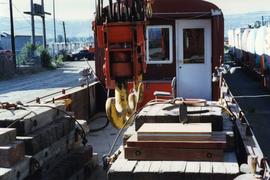
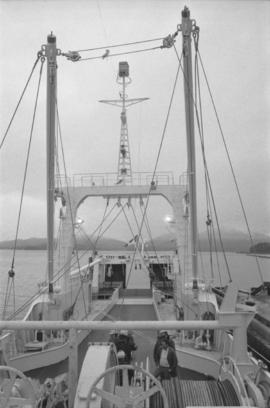
Photograph depicts deck details, looking towards the cabin. Taken from the crane deck.
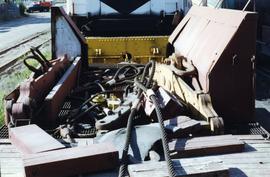
Photograph depicts deck details of an idle car. A small cabin was behind the camera. Side bins appeared to be tender remnants.
Photograph depicts a deck view with six men on the fishing vessel “Callistratus” at the Fairview Terminal in Prince Rupert.
Logs on shore and in water at Decker Lake [near Burns Lake, Northern British Columbia]
This "Declared Tsilhqot'in title lands" pamphlet includes a map that illustrates boundaries of declared Tsilhoqot'in title lands and rights areas, as well as locations of Tsilhqot'in communities and geographical/physical land features.
Orange-red fungus growing on host tree
Unidentified brown-orange fungus growth on a tree trunk
Photograph of deduster screen cleaner at Nordenham Finishing Mill in Germany. Part of trip report.
Detail of leaves outlined in frost
Twilight over calm lake and mountain range
Photograph depicts a deer grazing on a hillside.
Photograph depicts a deer in a brush covered area with a forest in the background.
