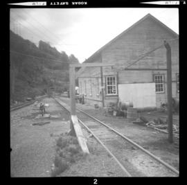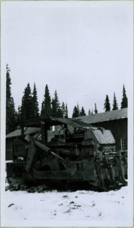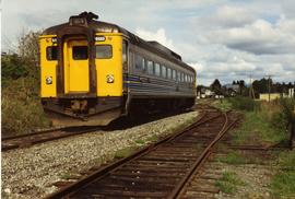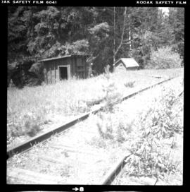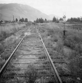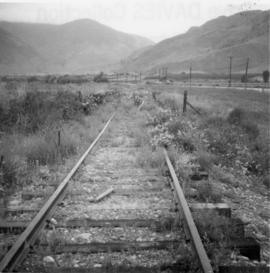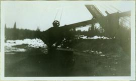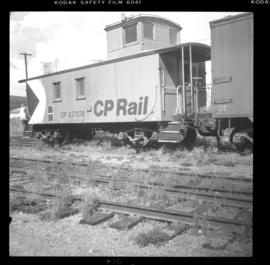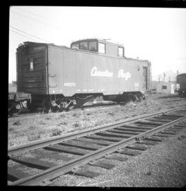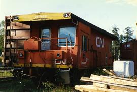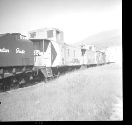
2013.6.36.1.054.01
·
Item
·
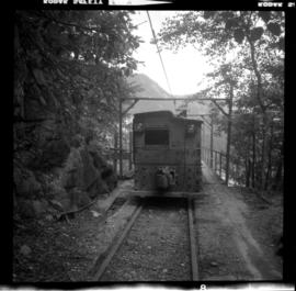
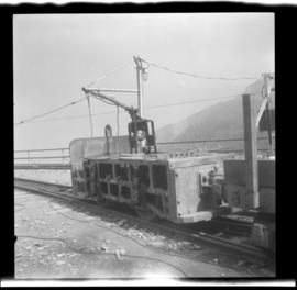
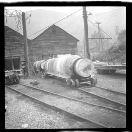
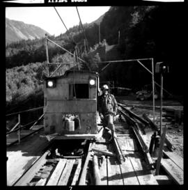
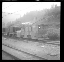
[8 June 1974]
Part of David Davies Railway Collection
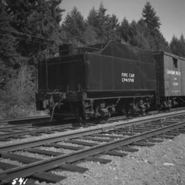
Photograph depicts what was believed to be locomotive #3 that was built by Jeffrey and was found on the main yard line.