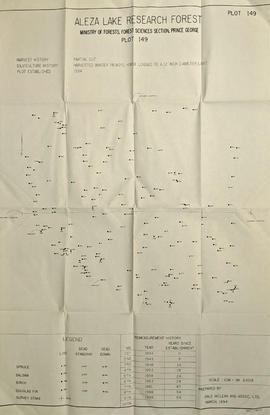
2007.1.80.1.21
·
Item
·
Sept. 1998
Part of Aleza Lake Research Forest fonds
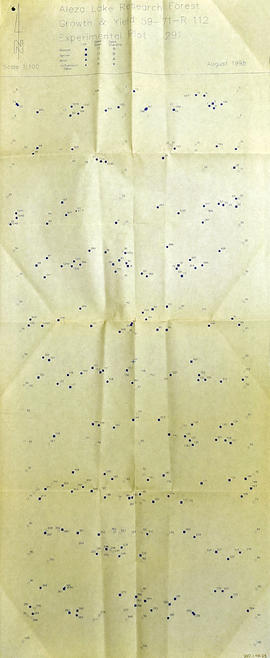
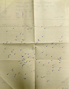
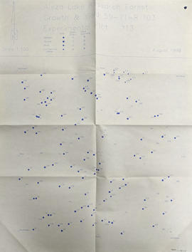
Map commissioned from Ministry of Forests Prince George Region from Madrone Consultants shows Aleza Lake Research Forest Terrain Resource Inventory Mapping (TRIM). Depicts roads, area boundaries, swamps, streams, marshes, contour lines and index lines.