2012.13.1.6.020
·
Item
·
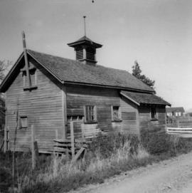
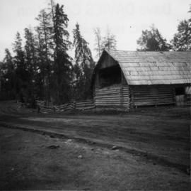
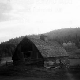
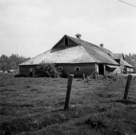
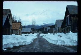
May 1974
Part of J. Kent Sedgwick fonds
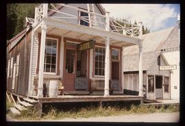
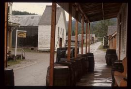
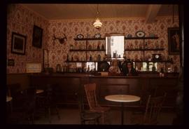
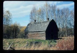
Image depicts a street in Barkerville, B.C.