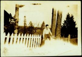
2009.5.1.14
·
Item
·
[ca. 1942]
Part of Taylor-Baxter Family Photograph Collection
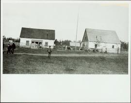
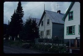
Trees in background, corner of house visible on left behind fence. Handwritten annotation on recto of photograph: "Hugh in his sport's shirt."