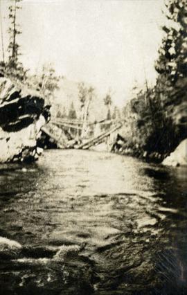
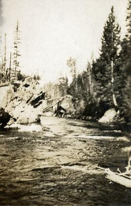
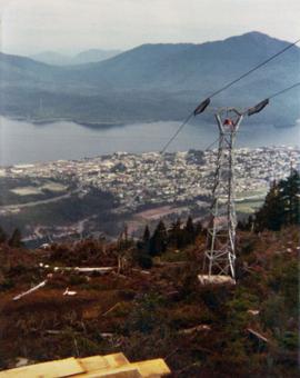
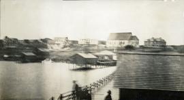
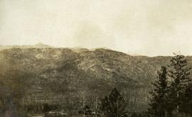
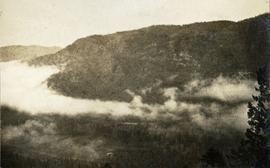
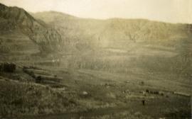
2012.13.1.52.49
·
Item
·
[1980?]
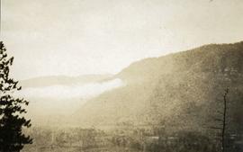
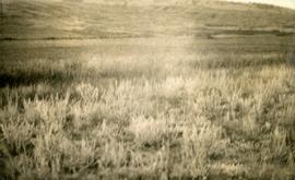
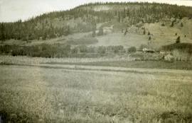
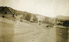
Part of J. Kent Sedgwick fonds
Image depicts a couple of old buildings, and a field full of tree trunks and dead wood. Located somewhere in or around the Upper Fraser Canyon.