Print preview Close
Showing 1005 results
Archival description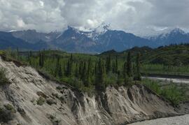
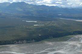
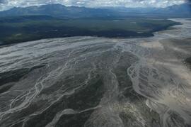
Generc River, facing upstream from near landing spot
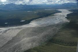
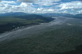
Generc River floodplain, upstream of study site
Generc River floodplain, upstream of study site
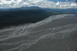
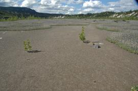
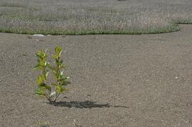
Generc River floodplain, facing upstream near study site
Generc River floodplain, facing upstream near study site
Generc River floodplain, facing upstream near study site
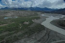
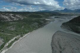
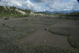
Generc River floodplain, above White River confluence
Generc River floodplain, above White River confluence
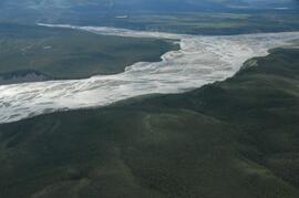
Generc River floodplain, above White River confluence
Generc River floodplain, above White River confluence
Generc River floodplain, above White River confluence
Generc River floodplain, above White River confluence
Generc River floodplain, above White River confluence
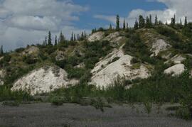
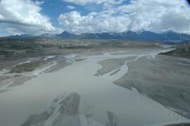
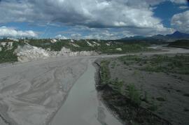
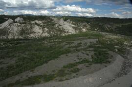
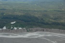
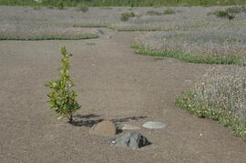
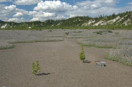
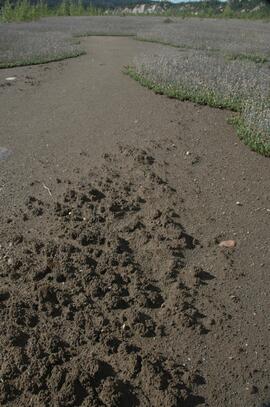
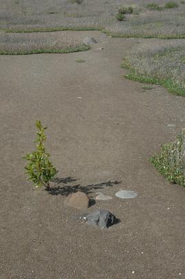
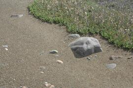
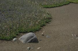
Generc River floodplain near landing spot
Generc River floodplain near landing spot
Generc River floodplain near landing spot
Generc River floodplain near landing spot
Generc River floodplain near landing spot
Generc River floodplain near landing spot
Generc River floodplain near landing spot
Generc River floodplain near landing spot
Generc River floodplain near landing spot
Generc River floodplain near landing spot
Generc River floodplain near landing spot
"FRDA Project 1.16 - Archie Road (North) Demonstration Plot"
"FRBC 2001 Sustainable Harvest Silviculture Study - Sulfur Fertilization Trial - Project# OPM 02408-720765 - Preliminary Final Report"
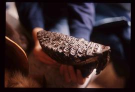
Fossilised Mammoth Tooth
Fort St. John? - Yellow Turbine
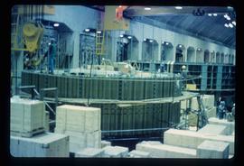
Fort St. John? - Wood Crates and Machinery

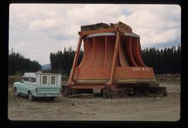
Fort St. John - Turbine on an Industrial Vehicle

Fort St. John - Turbine on an Industrial Vehicle

Fort St. John - Turbine on an Industrial Vehicle
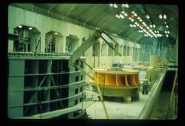
Fort St. John - Turbine
Fort St. John - Turbine
Fort St. John - Turbine

Fort St. John? - Old Farm Equipment

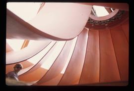
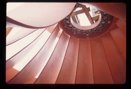
Fort St. John? - Concrete Building Interior
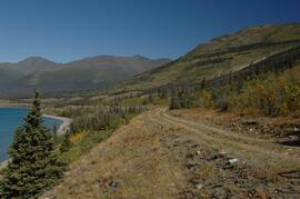
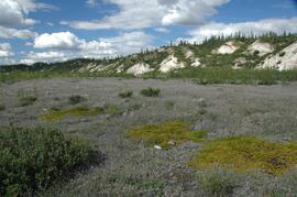
Forest-grassland mosaic, southeast side of Kluane Lake (south of Cultus Bay)
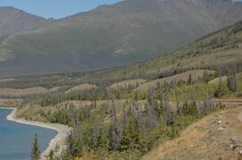
Forest-grassland mosaic, southeast side of Kluane Lake (south of Cultus Bay)
Forest-grassland mosaic, southeast side of Kluane Lake (south of Cultus Bay)
Forest-grassland mosaic, southeast side of Kluane Lake (south of Cultus Bay)

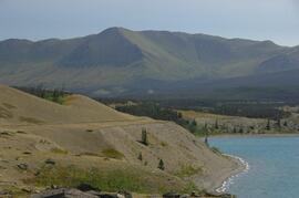
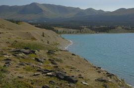
Forest-grassland mosaic, southeast side of Kluane Lake (north of Christmas Bay)

Forest-grassland mosaic, southeast side of Kluane Lake (north of Christmas Bay)

Forest Scene at Aleza Lake Experiment Station

Forest Research Note #PG-12-1: "Experimental Project 660 - 30-year Progress Report - Buckhorn Installation"

Forest Research Note #PG-12: "Experimental Project 660 - Overview of Three Experimental Installations - A 30-year Progress Report"

Forest Cover Series, Map 93 J/1, Giscome

Flight between Camp 2 and Camp 3

Flight between Camp 2 and Camp 3

Flight between Camp 2 and Camp 3