Print preview Close
Showing 1005 results
Archival description
Pelly River and Yukon River confluence

Pelly River and Yukon River confluence

"Paleosol Studies at Inlin Brook, NWT: August, 2004 - Report to the Geological Survey of Canada"
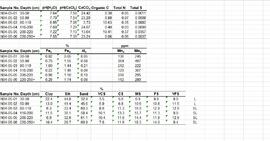
Paleosol data from Inlin Brook and Red Ochre River sites
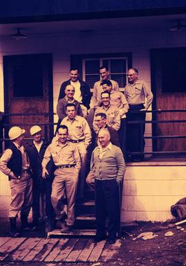
Office Staff at Main Office, 1958

Nostoc Crust (Kluane NP, Lower Slims)

Northwood Pulp & Timber Limited 1975 Operating Areas

North View of Tramline from Valley

North View of Tramline From Valley

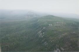
North side of Volcano Mountain

North side of Volcano Mountain

North side of Volcano Mountain

North side of Volcano Mountain

North side of Volcano Mountain

North side of Volcano Mountain

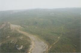
North side of the Yukon River, mid-Pleistocene basalts west of gully
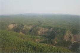
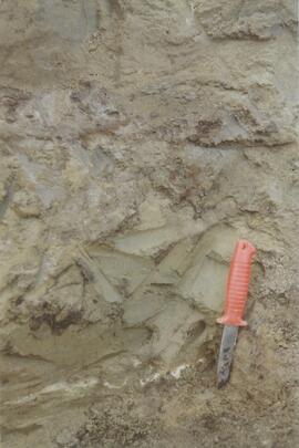
Norman Range site with loess over till (3)
Norman Range site with loess over till (2)
Norman Range site with loess over till (1)
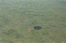
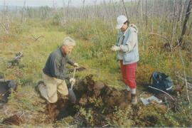
Norman Range sinkhole
Norman Range (6)
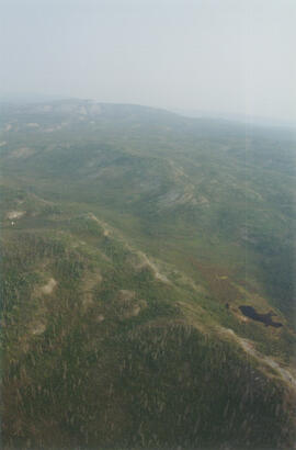
Norman Range (5)
Norman Range (4)
Norman Range (3)

Norman Range (2)
Norman Range (1)
New tephra at Site Y04-18 at Lost Chicken Mine (8)

Near Camp 3

Near Camp 3

Near Camp 3

Near Camp 3
Near Camp 3

Near Camp 1, facing west down the Yukon River

Mouth of Black Creek

Mosquito Creek Gold Mining

Mosquito Creek Gold Mining

Monkman P.S.Y.U., T.F.L. 30, and area

Monkman P.S.Y.U. forest cover map

Model for New Mill Displayed Outdoors

Model for New Mill Displayed in Room

MK Soils Project - 2001 - General Vegetation Descriptions

Ministry of Forests internal memorandum "Re: Evaluation of BaCl₂ method for soil cations"
"Mineralogy of clay and sand fractions of soils developed from till, glaciofluvial and glaciolacustrine deposits in central interior British Columbia"

Mine Site Equipment

Mine & Ore Gravity Chute

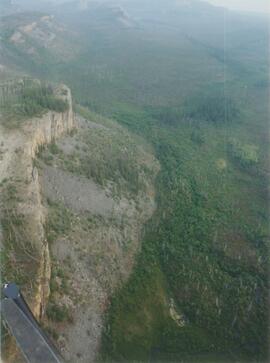
Middle Pleistocene basalt cliffs, facing downstream between Camp 1 and Camp 2

Middle Pleistocene basalt cliffs, facing downstream between Camp 1 and Camp 2

Middle Pleistocene basalt cliffs west of Camp 2

Middle Pleistocene basalt cliffs west of Camp 2
Michael Jull on skid road by advanced regeneration at Summit Lake