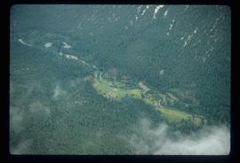
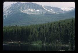
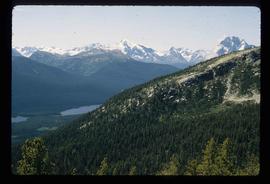
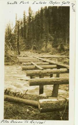
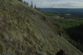
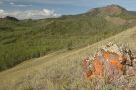
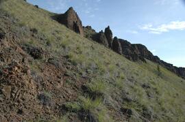
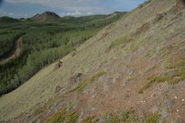
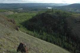
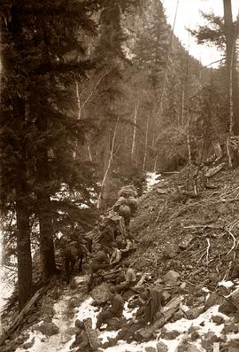
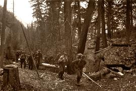
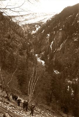
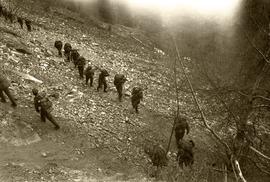
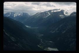
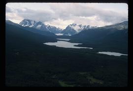
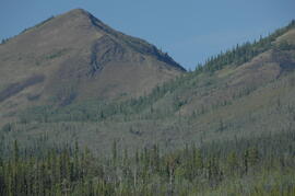
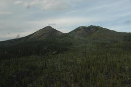
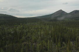
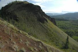
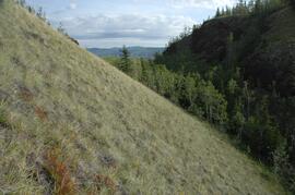
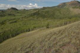
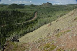
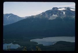
Image depicts an aerial view of what is likely Glacier Mountain in South Tweedsmuir Provincial Park. The two lakes present are possibly Vista and Junker.
Image depicts an aerial view of a "glaciated valley" in South Tweedsmuir Provincial Park. Glacier Mountain is present in the image.
Image depicts an aerial view of a chain of lakes in South Tweedsmuir Provincial Park.
Image depicts an aerial view of South Tweedsmuir Provincial Park.
Image depicts a view of South Tweedsmuir Provincial Park.
Image depicts an aerial view of South Tweedsmuir Provincial Park.
Image depicts a lake and mountain somewhere in South Tweedsmuir Provincial Park.
Image depicts an aerial view of a lake in South Tweedsmuir Provincial Park.
Image depicts an aerial view of South Tweedsmuir Provincial Park.
Image depicts a view of South Tweedsmuir Provincial Park. An unidentified man stands on the side of the image.
Photograph depicts the South Slocan Junction at mile 11.9 on the CPR line on the Nelson Boundary Subdivision. It closed as an agency in June 1969 but the telegrapher still maintained it. Three to four freights pass per day on the main line: 2 to Trail, 1 to Castlegar pulp mill, and 1 every other day to Midway. On the branch there is 1 train per week to Nakusp that leaves Nelson on Monday, arrives in Nakusp on Tuesday, and returns to Nelson on Wednesday. The view is looking east.
Photograph depicts the south shore line of the B.C. Electric Railway in False Creek, Vancouver. B.C. Hydro operated it, if not owned it. The location was directly opposite from Granville Island.
Lofty view of stern wheeler in river. Scattered buildings and tents in background. Printed annotation on recto reads: “South Fort George Oct 30th 1910”
Photograph depicts scattered buildings, an outhouse, and tents on a rough clearing. A river and its cutbacks are in the background.
Overhead view of downtown Prince George with a forested area in the background. Printed annotation on recto reads: "South Fort George- 1914."
Image depicts a house somewhere in the South Fort George subdivision of Prince George, B.C.
Image depicts a cemetery in the South Fort George suburb of Prince George, B.C.
Wooden piles driven into a river bed, pile driver visible in background. Handwritten annotation on recto reads: "South fork intake before gate built, pile driven to refusal".
Handwritten caption above this photo reads: "Sophie [Haach?] [lived?] in the Adams House". Photograph depicts Sophie seated behind table, curtains in background.
Photograph of a vessel filled with lumber just off the coast of a shore also littered with lumber. Mountains are barely visible in the background.
Photograph depicts a large number of soldiers bearing packs walking in a line through a rancher's field, possibly somewhere between Bella Coola and Anahim Lake during the WWII Polar Bear training exercise.
Photograph depicts a soldiers with packs walking over a wooden log bridge, possibly somewhere between Bella Coola and Anahim Lake during the WWII Polar Bear training exercise.
Photograph depicts soldiers walking along road with children watching nearby, possibly somewhere between Bella Coola and Anahim Lake during the WWII Polar Bear training exercise.
Photograph depicts soldiers unloading an American military jeep from a military truck, possibly somewhere between Bella Coola and Anahim Lake during the WWII Polar Bear training exercise.
Photograph depicts soldiers trekking uphill with pack horses in mountainous terrain between Bella Coola and Anahim Lake during the WWII Polar Bear training exercise.
Photograph depicts soldiers trekking uphill in mountainous terrain between Bella Coola and Anahim Lake during the WWII Polar Bear training exercise.
Photograph depicts soldiers trekking through mountainous terrain between Bella Coola and Anahim Lake during the WWII Polar Bear training exercise.
Photograph depicts a line of soldiers hiking up switchbacks on a steep rocky slope between Bella Coola and Anahim Lake during the WWII Polar Bear training exercise.
Photograph depicts a soldiers transferring water from military truck water bag to a large water bag on the ground, possibly somewhere between Bella Coola and Anahim Lake during the WWII Polar Bear training exercise.