2013.6.36.1.002.082
·
Item
·
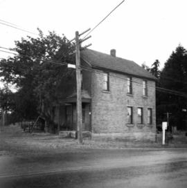
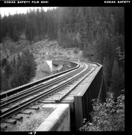
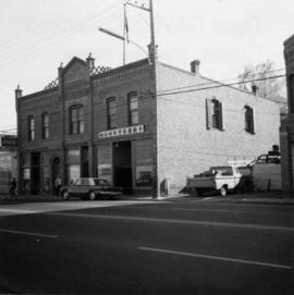
Oct. 1965
Part of David Davies Railway Collection
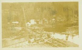
Photograph depicts one of the earlier brick buildings beside the river, sited opposite the sternwheeler landing pier. It is called Commercial Block and was built in 1897.