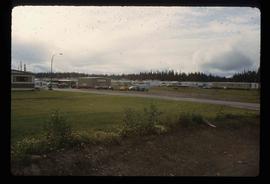
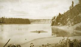
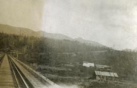
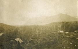
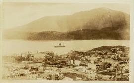
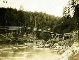
Print preview Close

Showing 3593 results

Archival description
3593 results with digital objects Show results with digital objects
Mackenzie Curling Rink
2012.13.1.70.13 · Item · Aug. 1979
Part of J. Kent Sedgwick fonds

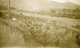
Image depicts a small section of Mackenzie, with the Mackenzie Curling Rink visible on the right side of the image.

Mackenzie - Morfee Lake
2012.13.1.70.07 · Item · 1973
Part of J. Kent Sedgwick fonds

Image depicts the frozen Morfee Lake just to the East of Mackenzie, B.C. The slide is also labelled "sub-boreal," referencing that it is a sub-boreal spruce zone.

Loos
2012.13.1.86.10 · Item · 1975
Part of J. Kent Sedgwick fonds

Image depicts several buildings in the community of Loos, B.C.

Loos
2012.13.1.86.09 · Item · 1975
Part of J. Kent Sedgwick fonds

Image depicts several buildings in the community of Loos, B.C.

Longworth - Railway Tracks
2012.13.1.87.031 · Item · [between 1975 and 1995]
Part of J. Kent Sedgwick fonds

Image depicts two unidentified individuals standing next to the train station, and two railway tracks running through Longworth, B.C.

2011.3.3.64 · Item · 28 June 1928
Part of North Coast & Central BC Postcard Collection

Slightly elevated photograph of Prince Rupert buildings. A lone vessel is visible in the background. Printed annotation on recto reads: "Courtesy of Can Nat'l Rys. Prince Rupert. B.C." Handwritten annotation on verso reads: "Dear Elma. We reached Prince Rupert (in the picture) today. Friday we arrive at Skagway and the glaciers. Having a fine trip- good weather and a good crowd. Love from Claire." Postcard is addressed to: "Mrs. Claude Millersh, River Forest, Guerneville, Sonoma Co., California." Postcard is affixed with a two cent American stamp. Postmark on verso reads: "Ketohikan Alaska. Jun 28 3 PM 1928."

2012.13.1.87.013 · Item · [between 1975 and 1995]
Part of J. Kent Sedgwick fonds

Image depicts a pile of old logs on the bank of the Fraser River with mountains in the background. In the foreground, a set of railway tracks run through an uncertain location, likely Upper Fraser, B.C.

Logs and Machinery
2012.13.1.87.056 · Item · [between 1975 and 1995]
Part of J. Kent Sedgwick fonds

Image depicts numerous piles of logs, and two unidentified individuals operating an excavator with a "thumb" attachment during the demolition of the Upper Fraser town site. Map coordinates 54°06'51.6"N 121°56'26.3"W

Logging
2012.13.1.122.12 · Item · 1977
Part of J. Kent Sedgwick fonds

Image depicts a logging area somewhere near Prince George, B.C.

Logging
2012.13.1.122.13 · Item · 1977
Part of J. Kent Sedgwick fonds

Image depicts a logging area somewhere near Prince George, B.C.

2009.6.1.115 · Item · 3 January 1975
Part of The Honourable Iona Campagnolo fonds

Photograph depicts a forested mountain, the bottom half of which has been logged and terraced; beneath the mountain is a railroad track and parked vehickes including a schoolbus and two dumptrucks.

Handwritten annotation on verso reads: “Fairview Sodturning, Prince Rupert, 1/3/75”.

2009.7.1.101 · Item · [ca. 1878 - ca. 1915]
Part of Archdeacon W. H. Collison fonds

Photograph depicts totem poles (crest poles?) in front of lodge buildings on river shore. Canoes can be seen floating in foreground, hills in background.

Handwritten annotation on verso reads: "Chapter XII. Number 1. Section of Indian Village on Nass River showing lodges and totems".