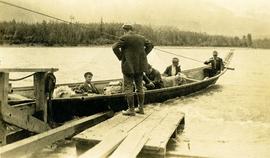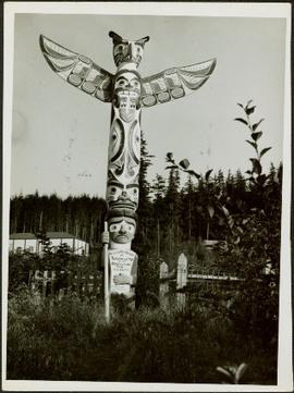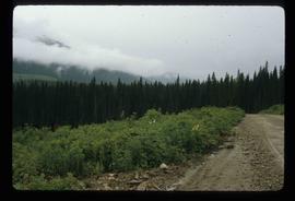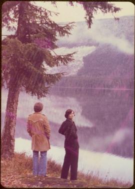
2009.6.1.153
·
Item
·
1977
Part of The Honourable Iona Campagnolo fonds
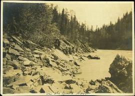
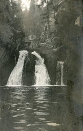
The pair stands beside trees in foreground, opposite shore visible in background.
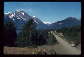
Handwritten annotation on verso reads: “on Highway 37”.