2012.13.1.91.05
·
Item
·
Oct. 1978
Part of J. Kent Sedgwick fonds
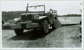
Image depicts a dam on what is possibly the Peace River.