2000.13.1.11
·
Item
·
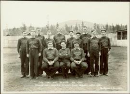
1941.
Part of Ray Williston fonds
Item is a photograph of the Princeton High School Cadet Corp in May 1941.