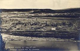
2001.26.1.520
·
Item
·
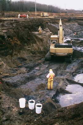
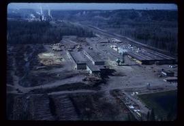
May 1972.
Part of Northwood Pulp and Timber Ltd. fonds
Prince George (P.G.) Sawmill - General.