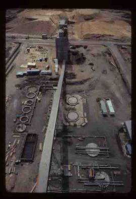
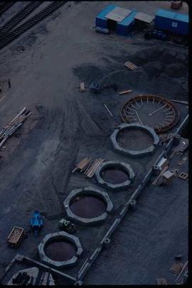
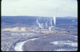
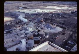
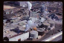
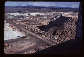
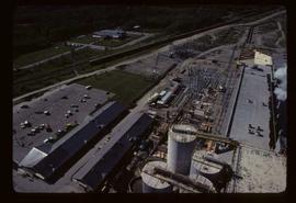
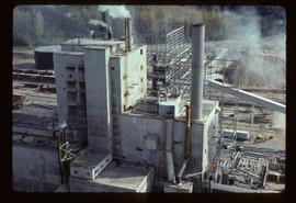
Pulpmill - Expansion Project.
Image depicts the flows from a pulp mill in Prince George, B.C.
Photograph depicts a large cluster of building with a wide smoke stack in the centre. Water in the foreground, dense forest and mountains in the background. Handwritten annotation below photograph reads, "Mill at Swanson Bay".
Photograph depicts a wharf, buildings on the shore with dense forest in the background. Handwritten annotation below photograph reads, "Swanson Bay".
Annotation on verso: "Oct. 26/29". Photo depicts a sailboat being pulled along a river by another boat. Large striated mountains visible along the shoreline.
Annotation on recto: "Ingenika River 1930"; annotation on verso: "Ingenika River 1930". Photo depicts five survey crewmen pullng a fully loaded boat and a dog along the Ingenika River.
Photograph depicts a Public Works Department vessel, "Essington II." It was fitted with a crane and used for snag removing, buoy work and light pile driving. Here, it was shown with the barge alongside it.
Photograph depicts the Public Works Department dredger (suction) at work in the north arm of the Fraser River, near Boundary River, in Vancouver.
Photograph depicts the P.W.D. dredger at work in the north arm of the Fraser River in Vancouver.
Photograph depicts a Public Weigh Scale that was operated in Vancouver, on Main Street, opposite the CN Depot.
Photograph taken during European Sports Tour with Team Canada.
Photograph depicts a public logging road that crossed over the Muchalat River. The bridge was disused and blocked off. Photograph taken at the Tahsis Tree Farm Ltd.
Photograph taken at Tahsis Ltd. Tree Farm, crossing the Muchalt River on a public logging road that went from Gold River to Woss Lake. The road took the heaviest trafiic which included logging trucks and semi trailers bound for the end of the island as it was the only route by land.
Image depicts the Prince George Public Library from 7th Ave.
Image depicts the Prince George Public Library.
Photograph depicts a ptarmigan in the foreground, two men on foot, leading a packhorse across a meadow.
Photograph depicts the Provincial Government Mine Rescue Station established in 1913 in Nanaimo, B.C. It is in the south side of the city.
Image depicts the Provincial Government Building located in Stewart, B.C.
Photograph depicts the proposed site for a hydro power project on Klemtu Lake with rock sill outlet to creek.
Reproduced map on mylar depicts a proposed railway spur for the Aleza Lake Forest Experiment Station.
Item is the Proposed Land Use Map, 1978-2012, referred to in By-law No. 3138, the City of Prince George Official Community Plan. The original draft of this map was completed on October 24, 1977. This version of the map was amended in July 1982.
Item is a map depicting proposed land use between 1978 and 2012 in the City of Prince George. This map was drawn for the City of Prince George Community Plan; this particular version of the map was displayed in City of Prince George council chambers through 1979.
Photograph depicts the profile of a pack horse bearing Prentiss Gray's tripod and camera equipment on a special saddle.
Photograph depicts a profile view of a pack horse laden with Prentiss Gray's camera equipment.
Item is a photograph of a copy print that has been reproduced as a slide, resulting in low photographic quality. Location of original photograph unknown.
Photograph depicts a posterboard display entitled "Production of Asbestos."
Photograph depicts the CPR probably in the Fraser Canyon.
Photograph depicts a southbound C.P.R. streamliner at the Mud Bay crossing on Vancouver Island. This part of track belongs to the Esquimalt and Nanaimo Railway, and the crossing is being re-sited.
Photograph depicts a four-wheeled private saloon coach #58A, built in 1909 at Lochgorm Works (of Highland Railway) in Inverness, Scotland. It is the property of the provincial government of B.C. and located in the dock area of New Westminster. The wheels have solid wooden pieces between axels and tires.
Photograph depicts the end view of the four-wheeled private saloon coach #58A, built in Inverness in 1909 and formerly the property of the Duke of Sutherland. It is owned by the B.C. provincial government and is standing at the New Westminster docks.
Photograph depicts a private rail/road bridge built to serve Northwood Pulp and Timber, Ltd. Crossing Fraser River. Looking west, towards the mill. On private Northwood trackage.
Photograph depicts a private logging road bridge over Kettle River at Fiva Creek, Westbridge B.C. The bridge had recently repaired with new timbers.
Photograph depicts a private car owned by the Interior Contracting Co. Ltd. of Penticton, at the C.P.R. Penticton depot. No building date is shown on the car.
Photograph taken at Government House in Victoria, B.C.
Photograph depicts the Pritchard CPR depot, 25 miles east of Kamloops.