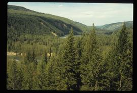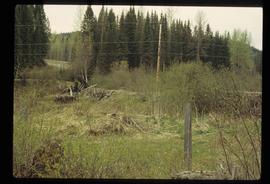
2012.13.1.20.29
·
Item
·
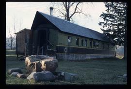
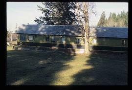
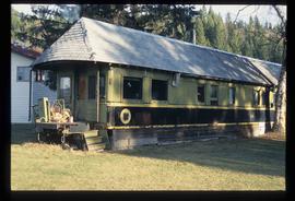
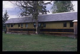
[between 2002 and 2004]
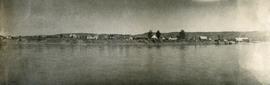
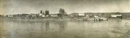
Part of J. Kent Sedgwick fonds
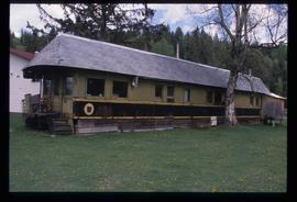
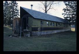
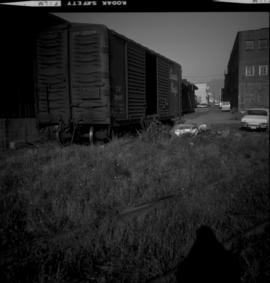
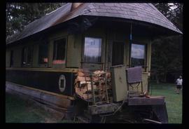
Image depicts a house made from a rail car in an uncertain location. It could be in Hixon, Red Rock, or Woodpecker, B.C.