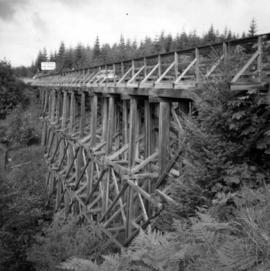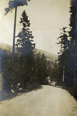
2020.08.47
·
Item
·
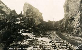
1913
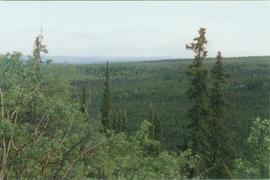
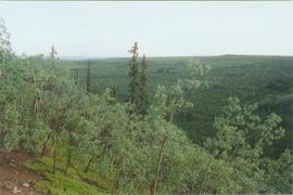
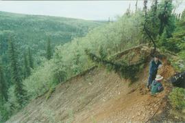
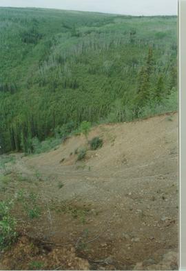
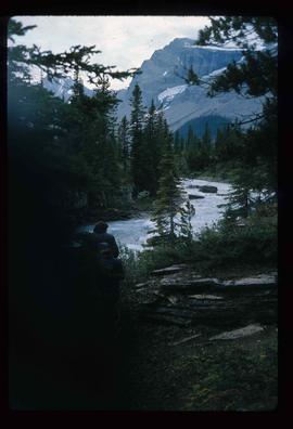
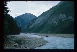
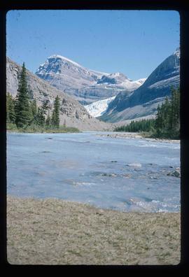
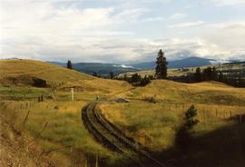
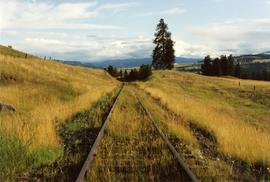
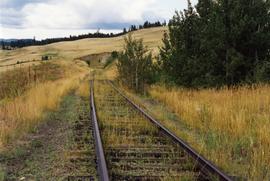
Part of Pacific Great Eastern Railway Region Photograph Collection
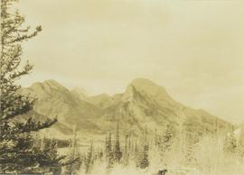
Photograph depicts the making of a rock cut on the Pacific Great Eastern Railway line at the Lillooet end of Seton Lake during railway construction.