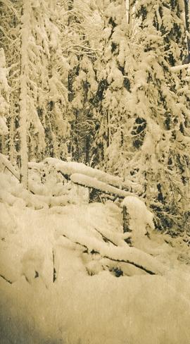
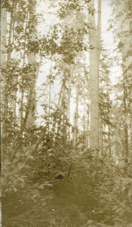
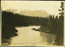
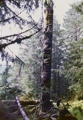
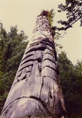
Image depicts a forest service cabin somewhere near Tête Jaune Cache, B.C.
Image depicts a vehicle on a gravel road somewhere near Tête Jaune Cache, B.C.
Photograph depicts a small cluster of buildings near the river bank.
Stern wheeler passing through rapids. Printed annotation on recto reads: “The B.C. Express passing through the Grand Canyon B.C.” Handwritten annotation in red ink on recto adds: “1913”
Hand coloured lofty view of the Prince Rupert waterfront. Printed annotation on recto reads: "The Beginning of Prince Rupert, B.C. : Grand Trunk Pacific Hotel in foreground." Artist's stamp in lower left corner reads: "104,036 J.V."
Image depicts the Bullion Pit in Likely, B.C. It is a man-made canyon from the days of the gold-rush, formed by the use of hydraulic monitors. The gold-mine operated from 1892 to 1942.
Photograph depicts one man kneeling the other sitting on the forest floor. The first man is giving the second man a shave.
Photograph depicts a view of "The Captain" mountain near Lillooet, BC.
Image depicts the Caribou Hotel and the Matthew Watson General Store in Carcross, Y.T.
Image depicts a section of Isaac Lake which is apparently known as the "chute."
Group of men stand on pier by warehouse, looking out at the boat. Treed mountains visible in background.
Handwritten photo caption beside image reads: "Danube".
Photograph depicts the Empress Hotel in Victoria, BC.
Photograph of a large explosion next to a huge pile of debris. Buildings are visible on either side and railroad track can be seen in the foreground. Annotation on recto reads: "The Last Big Blast, Prince Rupert BC 21 Jan 1914 McRae Bros. Photo"
Photograph of a large explosion next to a huge pile of debris. Buildings are visible on either side and railroad track can be seen in the foreground. Printed annotation on recto reads: "The Last Big Blast, Prince Rupert BC 21 Jan 1914 McRae Bros. Photo"
Photograph depicts heavy blanket of snow on fallen logs and forest.
Handwritten annotation on verso reads: " '[Naskeena?' anchored off Metlakatla with Dr. [Mc-?] & Capt. Barry standing on its deck".
Stern wheeler “Port Simpson” tied to riverbank. Printed annotation on recto reads: “On the Skeena river, Hazelton, B.C.” Handwritten message on verso is addressed to “Mrs. Flossie Strong 6 Nah St. Watermill ME, U.S.A” 1 cent Canadian postage stamp has been canceled with a date of “Dec 24, 5:30 PM 1915 Buffalo N.Y.”
Stern wheelers “Operator” and “Conveyor” in dock. Printed annotation on recto reads: “S.S. “Operator” and “Conveyer” at Fort George, B.C. No. 107.”
Image depicts half of a ship, which is named the Tutshi, in Carcross, Y.T.
Photograph depicts four men in a boat on a lack with a waterfall in the background running through a forest into the lake. Annotation on verso of photograph states: "The water fall + flume for Brown's sawmill Hoscall River BC"
Photo depicts a street perspective of Third Ave., in Prince George, BC, ca. 1950. Handwritten annotation in pen on verso of postcard reads: “You will undoubtedly notice that there are no tall buildings. I don’t think that there is one building in Prince George that is even five stories tall.”
Street level photo of Third Avenue in Prince George. Visible businesses include "Cut Rate Grocery" and "C.N.R. Cafe." Printed annotation on recto reads: "3rd Ave. Prince George."
Street view of Third Avenue in Prince Rupert, BC. Several cars are visible parked along the sides of the paved street. Printed annotation on recto reads: "Third Ave. W Prince Rupert- BC."
Photograph taken from the intersection of 3rd Avenue and an unidentified street. Visible businesses include "Ben Baird The Smart Shop" and "C.N.R. Cafe." Printed annotation on recto reads: "3rd Ave. PR. George, B.C."
Hand coloured street view of Third Avenue in Prince Rupert, BC. Printed annotation on recto reads: "Third Avenue, Prince Rupert, B.C." Artist's mark in lower left corner reads: "109938 J.V."
Photograph depicts six horses harnessed to a center pole. Three men attend the horses, two men with pitchforks stand atop a wagon loaded with cut grain stocks in the background.
Image depicts three unidentified children standing in the doorway of a house, with two goats ascending the porch steps. The location is uncertain, likely Sinclair Mills, B.C.
Item is a photograph of the three tunnels built to divert the Peace River around the Bennett Dam construction site.
Image depicts a view of the scenery, with three hikers in the bottom left corner of the image.
Image depicts three men and a dog on the hiking trail near Mt. Robson.
Ground level view of the Prince Rupert dry dock. Hills are visible in the background. Printed annotation on recto reads: "Three Million Dollar Dry Dock and Shipbuilding Plant, Prince Rupert, BC."
Officers are mounted on three horses standing in water. Fifth horse stands on right, trees on shore in background. Handwritten annotation on recto of photograph: "Jas Tracey, Vanderhoof. Srg. Birch."
Image depicts three unknown individuals at a campsite.
Image depicts two individuals seated at a picnic table while a third stands closer to the water on a beach somewhere in Kitimat, B.C. What appears to be a harbour can be seen on the water.
Image depicts three individuals and three dogs standing by a stream at an uncertain location, possibly somewhere in Bear Glacier Provincial Park. The woman in purple is possibly Sue Sedgwick.
Image depicts three picnic tables, one of which is occupied with three unknown individuals, on a beach somewhere in Kitimat, B.C.
Photograph features three sternwheelers tied to river bank. Buildings visible on far left, hills on shore visible in background.
Printed annotation on recto reads: “Stern Wheelers 1910 Quesnel B.C.” Handwritten annotation on verso in pencil reads: “BX, B.C. Express, Charlotte”
Handwritten annotation on verso reads: "Poling supplies up Nass River".
Photograph depicts three young, First Nations girls standing in front of a memorial totem pole with houses and a forested environment visible in the background. Photographer’s stamp on verso: “W.E. Nicholson, 268 E. 10th, Vancouver 10, B.C.”
Photograph depicts tall timber and fallen trees.
Photograph depicts lush undergrowth with tall trees.
Photograph depicts lush forest growth and tall trees.
Image depicts Highway 16 en route to Prince Rupert, B.C.
Image depicts a woman standing in a field, with a sign in a tree behind her pointing the way towards the Raven Cabin.
Photograph depicts winding river from above, tall trees on either side and mountains in background. Handwritten photo caption on verso and recto of this photograph reads: "Top of Grand Canyon from Portage trail".
Groups of men and women can be seen gathered on paths between two large totem poles.
Handwritten annotation on verso reads: "Totem Park Pr Rupert park."
Image depicts a totem pole at an uncertain location, possibly in Gitwinksihlkw, B.C.
Photograph depicts a totem pole in a British Columbia rainforest, possibly on Haida Gwaii.