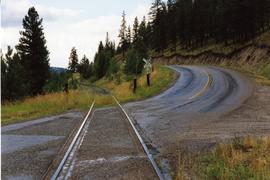
2013.6.36.1.008.21
·
Item
·
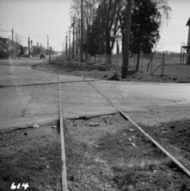
Apr. 1966
Part of David Davies Railway Collection
Photograph depicts the former B.C. Electric Railway spur running westwards along Bridgeport Rd., leading from the former main trackage. It was not in use for many years and was lifted in 1965, except for road crossings. The photo is taken from the intersection with Sexsmith Rd., looking east. The former main trackage is sited about 300 yards in the background and at right angles to the track in the foreground.