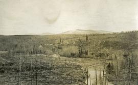
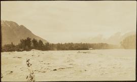
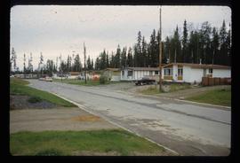
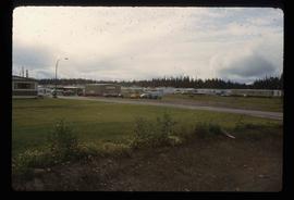
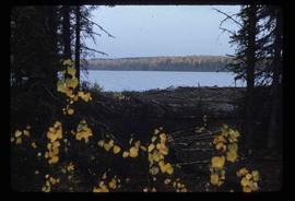
Print preview Close

Showing 3593 results

Archival description
Logging
2012.13.1.122.13 · Item · 1977
Part of J. Kent Sedgwick fonds

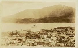
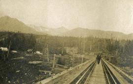
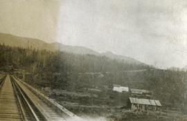
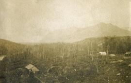
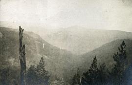
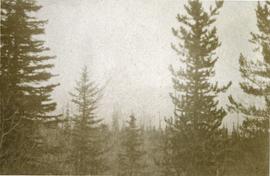
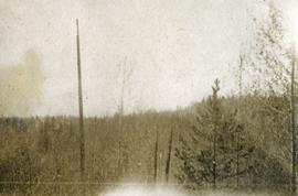
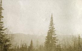
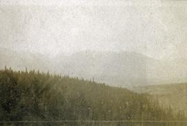
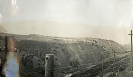
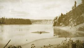
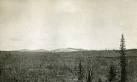
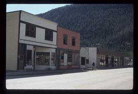
Image depicts a logging area somewhere near Prince George, B.C.

Logs and Machinery
2012.13.1.87.056 · Item · [between 1975 and 1995]
Part of J. Kent Sedgwick fonds

Image depicts numerous piles of logs, and two unidentified individuals operating an excavator with a "thumb" attachment during the demolition of the Upper Fraser town site. Map coordinates 54°06'51.6"N 121°56'26.3"W

2012.13.1.87.013 · Item · [between 1975 and 1995]
Part of J. Kent Sedgwick fonds

Image depicts a pile of old logs on the bank of the Fraser River with mountains in the background. In the foreground, a set of railway tracks run through an uncertain location, likely Upper Fraser, B.C.

2011.3.3.64 · Item · 28 June 1928
Part of North Coast & Central BC Postcard Collection

Slightly elevated photograph of Prince Rupert buildings. A lone vessel is visible in the background. Printed annotation on recto reads: "Courtesy of Can Nat'l Rys. Prince Rupert. B.C." Handwritten annotation on verso reads: "Dear Elma. We reached Prince Rupert (in the picture) today. Friday we arrive at Skagway and the glaciers. Having a fine trip- good weather and a good crowd. Love from Claire." Postcard is addressed to: "Mrs. Claude Millersh, River Forest, Guerneville, Sonoma Co., California." Postcard is affixed with a two cent American stamp. Postmark on verso reads: "Ketohikan Alaska. Jun 28 3 PM 1928."

Longworth - Railway Tracks
2012.13.1.87.031 · Item · [between 1975 and 1995]
Part of J. Kent Sedgwick fonds

Image depicts two unidentified individuals standing next to the train station, and two railway tracks running through Longworth, B.C.

Loos
2012.13.1.86.10 · Item · 1975
Part of J. Kent Sedgwick fonds

Image depicts several buildings in the community of Loos, B.C.

Loos
2012.13.1.86.09 · Item · 1975
Part of J. Kent Sedgwick fonds

Image depicts several buildings in the community of Loos, B.C.

Mackenzie - Morfee Lake
2012.13.1.70.07 · Item · 1973
Part of J. Kent Sedgwick fonds

Image depicts the frozen Morfee Lake just to the East of Mackenzie, B.C. The slide is also labelled "sub-boreal," referencing that it is a sub-boreal spruce zone.

Mackenzie Curling Rink
2012.13.1.70.13 · Item · Aug. 1979
Part of J. Kent Sedgwick fonds

Image depicts a small section of Mackenzie, with the Mackenzie Curling Rink visible on the right side of the image.

Main Street
2012.13.1.83.19 · Item · 1979
Part of J. Kent Sedgwick fonds

Image depicts several buildings along the main street in Stewart, B.C. One of them has been boarded up.

Main Street of Rolla
2000.19.2.2 · Item · 29 Aug. 1927-26 Sept. 1927
Part of Prentiss Gray Collection

Photograph depicts the main street of Rolla with a dirt street and wooden sidewalks, tethered horses, and the storefront of H.G. Atkinson General Merchants. Three people are visible walking through the streets.