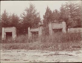
2009.7.1.077
·
Item
·
[ca. 1876 - ca. 1920]
Part of Archdeacon W. H. Collison fonds
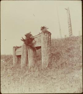
Handwritten annotation on verso of photograph reads: "No. 54. Old tombs & totems. / to Haida graves Massett".
Two tombs stand in foreground, each consisting of a horizontal box held by two hollow posts sunk in the ground.