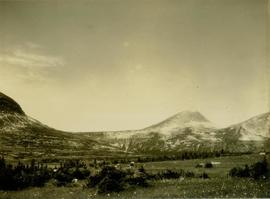
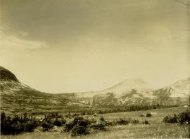
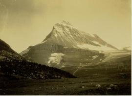
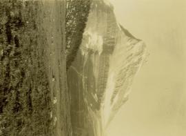
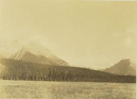
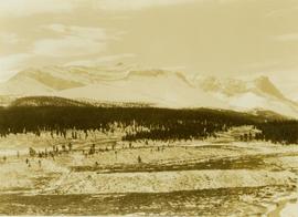
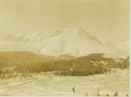
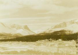
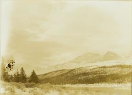
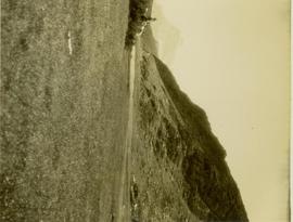
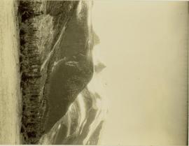
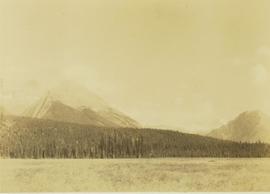
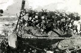
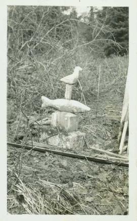
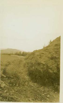
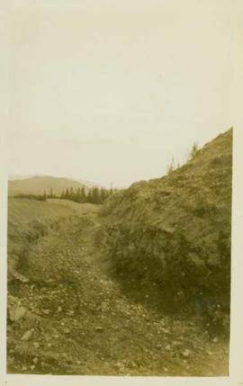
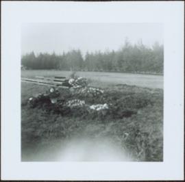
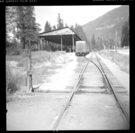
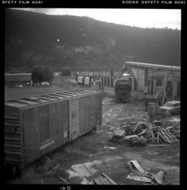
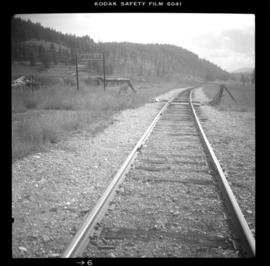
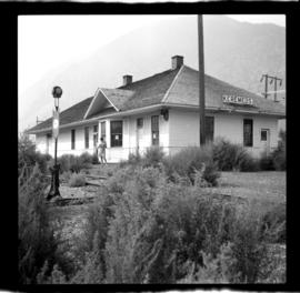
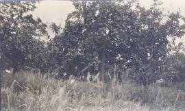
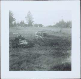
Photograph depicts a landscape shot of a grassy area with fruit-bearing trees in the background.
Image depicts Grassy Plains, B.C.
Photograph depicts a grassy plateau with a tree in the foreground leading to forested foothills and rising to rocky mountain slopes.
Photograph depicts a grassy, snow-covered plateau leading to forested foothills and rising to rocky mountain slopes.
Photograph depicts a grassy plateau leading to forested foothills and rising to rocky mountain slopes.
Photograph depicts a grassy plateau leading to forested foothills and rising rocky mountain slopes.
Photograph depicts a grassy plateau leading to forested foothills and rising to rocky mountain slopes.
Photograph depicts a grave, covered in flowers and surrounded by snow. The grave is marked with what appears to be cement grave markers bordering the burial. The location of the grave is unknown.
Image depicts the grave of Frank Russell "Russ" Baker in Fort St. James, B.C.
Image depicts the grave of W.L. Meason in the upper Fraser Canyon.
Photograph depicts a grave in the churchyard of Murray Church in Nicola, near Merritt. The church was built in 1876, which makes it one of the oldest churches in the interior of B.C. The gravestone shows a death in 1882, of a son aged 14.
Photograph depicts grave marker which reads "ALLAN McCALLUM / 1906 - 1981 / RAISED NEAR HERE AS A SON OF A PIONEER FAMILY, HE WISHED TO BE RETURNED TO THIS PLACE HE LOVED ABOVE ALL OTHERS AND WHERE HE FELT SO AT PEACE."
Image depicts numerous grave markers at an uncertain location.
Image depicts the grave of John A. Cameron at Barkerville, B.C.
Image depicts the grave of John A. Fraser in Barkerville, B.C.
Close up of a grave stone, carved in the shape of an upright bear (?), with a wooden fence visible in background at the Hazelton cemetery. Handwritten annotation on verso reads: "Grave stone in Hazelton graveyard."
Close up of a Hazelton cemetery grave stone carved in the shapes of a fish and a bird. Handwritten annotation on verso reads: "Grave stone in Hazelton graveyard, 1932."
Image depicts layers of gravel at the BCR site in Prince George, B.C.
Photograph depicts close up view of gravel pit, ruler displayed for scale. Photograph speculated to have been taken at the plant or near the Cassiar airstrip. Stamped annotation on recto of photograph: "JUN. 1987".
Photograph depicts a gravel pit 1.5 miles north of the McCulloch depot or at approximately mile 78.0, on the Carmi Subdivision. It has not been in use since at least the late 1950s. The rails here are worn and dated 1910 and 1920s. The view is looking north.
Photograph depicts a gravel pit located 1.5 miles north of McCulloch CPR depot, which is at approximately mile 78, on the Carmi Subdivision. The gravel pit has not been used for at least 20 years. The picture also shows a disused spur line.
Photograph depicts a disused gravel pit near the McCulloch CPR depot, on the Carmi Subdivision. The pit had not been used for at least 20 years. The view is looking south.
Photograph depicts a gravel road carved into the forested landscape.
Photograph depicts a gravel running track at an outdoor field in Friedrichshafen, Germany. This Photograph was taken during Iona Campagnolo's European sports tour.
Photograph depicts two grave sites under flowers in cemetery. Road, trees, and buildings in background.
Photograph depicts two grave sites under flowers in cemetery. Wood planks, field, and forest in background.
Image depicts a small graveyard at an uncertain location.
Photograph depicts a graveyard at a church in Nicola, 7 miles northeast of Merritt. The church was built in 1876, and the cast iron gravestone is unusual.
Photograph depicts a Great Canadian Rail Tour Company train, the Rocky Mountaineer, on CN track, north of Walhachin.
Photograph depicts the rear of the Great Northern depot on Main St. in Vancouver, that is now demolished.
Photograph depicts the Great Northern Railway (now Burlington-Northern Railway) line between Spokane and Nelson. Visible is a shed for lumber. Image captured looking upgrade and northeast. It had a 27 car siding.
Photograph depicts the Burlington-Northern Railroad, formerly the Great Northern Railway. Image captures sandblasting abrasives planted on the western edge of Grand Forks. Visible is a Canadian Pacific locomotive #8650 switching on Burlington-Northern tracks.
Photograph depicts the Great Northern Railway, now called the Burlington-Northern Railway which had a branch line from Kettle Falls to "Republic" that at one point crossed into Canada via Grand Forks. The view shows the exit (cattle guard) from Canada (B.C.) to Washington.
Photo the depot in Keremeos that had been locked up and deserted after the agency had moved to Oroville, Washington in January 1971. However, the truck to Keremeos was still used for freight traffic, if infrequently. Rails in the photograph were dated 1913.
Photograph depicts Great Northern Railway freight heading south having just come off of the New Westminster government rail bridge.
Photograph depicts a former Great Northern Railway grade. Image captured looking towards the east, at an intact trestle. The line curves 180 degrees at the right of the photo, just avioding the boundary that comes up behind the camera to a former whistle stop called Myncaster. The line was thought to be pulled in 1938. It connected Midway to Oroville.