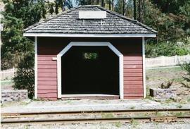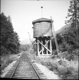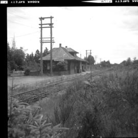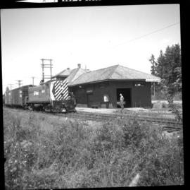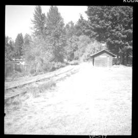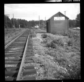
2013.6.36.1.140.16
·
Item
·
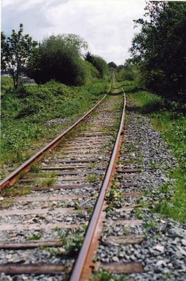
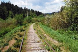
Nov. 1991
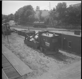
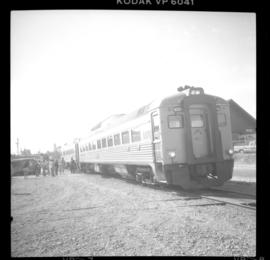
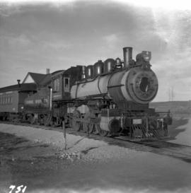
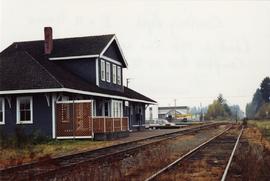
Part of David Davies Railway Collection
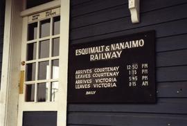
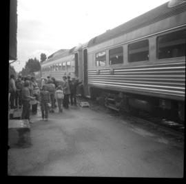
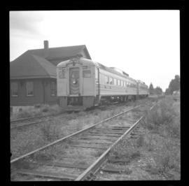
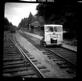
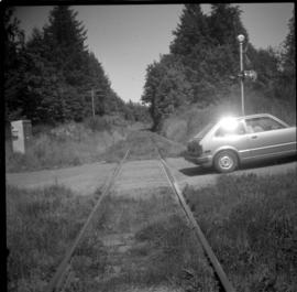
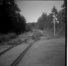
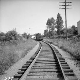
Photograph depicts the Courtenay depot, an Esquimalt & Nanaimo Railway terminus. Back in 1910, the line was intended to have Campbelll as the destination.